UN/LOCODE hub · Chile
CLPEO

Penco

-36.7167°, -72.9833°
46,091
Population
3
Transport functions

Transport Functions

Port
Rail
Road
Penco is also a profiled seaport →
UN/LOCODE

Hub Profile

Place type
Populated place
GeoNames
Region
Biobío
GeoNames
Population
46,091
GeoNames
Time zone
America/Santiago
GeoNames
Elevation
24 m
GeoNames

Location

Location of CLPEO
Natural Earth 10m (public domain) · Biobío · CLPEO · -36.72, -72.98GoogleOSMYandex

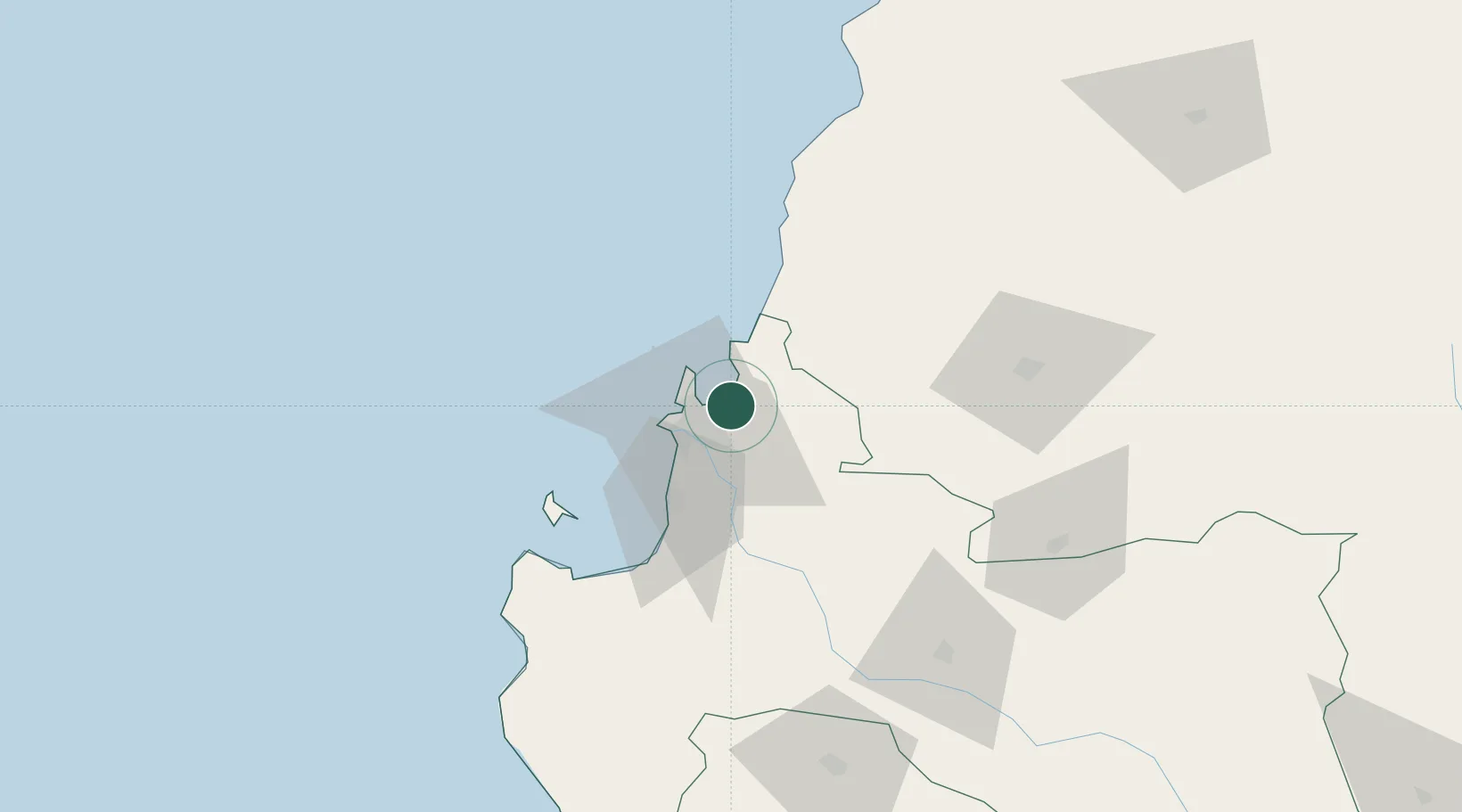
Nearby Logistics Neighbours

Cities
  1. 1Lirquén0 km
  2. 2Talcahuano12 km
  3. 3Concepción13 km
  4. 4Tomé13 km
  5. 5San Vicente14 km
Nearest neighbours — logibook spatial index (haversine) over the source coordinates
Ports
  1. 1Lirquen0 km
  2. 2Talcahuano11 km
  3. 3Bahia San Vicente16 km
  4. 4Coronel39 km
  5. 5Lota45 km
Nearest neighbours — logibook spatial index (haversine) over the source coordinates
Airports
  1. 1Carriel Sur International Airport9 km
  2. 2Gral. Bernardo O´Higgins Airport86 km
  3. 3Victoria Airport179 km
  4. 4Panguilemo Airport194 km
  5. 5Maquehue Airport230 km
Nearest neighbours — logibook spatial index (haversine) over the source coordinates
Trade Zones
  1. 1Zona Franca Zapala (Zapala Free Trade Zone)348 km
  2. 2Zona Franca Mendoza Free Trade Zone546 km
  3. 3Zona Franca de San Luis777 km
  4. 4Justo Daract Free Trade Zone777 km
  5. 5General Pico Free Zone833 km
Nearest neighbours — logibook spatial index (haversine) over the source coordinates
DatabookThe Record of Consolidated Knowledge
Chile beyond logistics?
Browse databook

All Sources

LocationsUN/LOCODE
UN/LOCODE — free
LocationsGeoNames
CC BY 4.0
Portsthe NGA World Port Index
Public domain (US gov)
AirportsOurAirports
Public domain
Trade Zonesthe World Bank SEZ database
CC BY 4.0
Trade ZonesOpen Zone Map
CC BY
← Chile locations