UN/LOCODE hub · Argentina
ARBQS
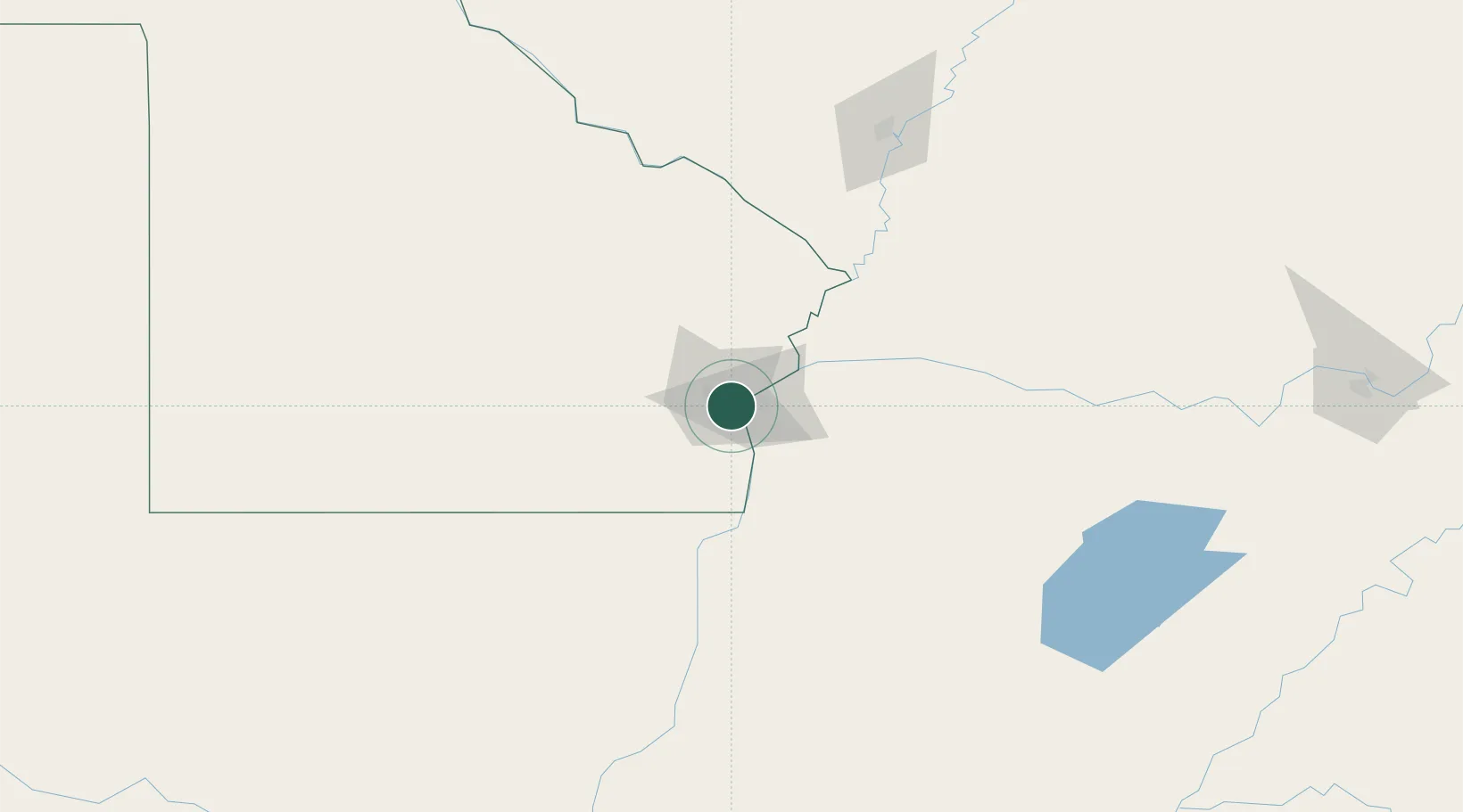
Barranqueras
-27.4899°, -58.9254°
50,823
Population
1
Transport functions
Transport Functions
Port
Hub Profile
Place type
Populated place
Region
Chaco
Population
50,823
Time zone
America/Argentina/Cordoba
Elevation
52 m
Logistics facilities
1
Location
Nearby Logistics Neighbours
Cities
- 1Corrientes9 km
- 2Bella Vista113 km
- 3Puerto Lavalle172 km
- 4Reconquista198 km
- 5San Ygnacio198 km
Ports
- 1Puerto De Asuncion276 km
- 2Concordia443 km
- 3Santa Fe493 km
- 4Parana495 km
- 5Colon531 km
Airports
Trade Zones
- 1Zona Franca Global474 km
- 2Zona Franca Internacional475 km
- 3Zona Franca Puerto Iguazu Free Trade Zone482 km
- 4Rivera Free Zone504 km
- 5Zona Franca Tucuman Free Trade Zone621 km
DatabookThe Record of Consolidated Knowledge
Argentina beyond logistics?