UN/LOCODE hub · Argentina
ARCNQ
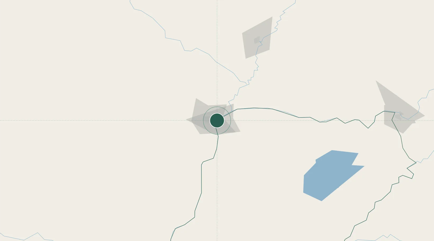
Corrientes
-27.4613°, -58.8366°
346,334
Population
2
Transport functions
Transport Functions
Port
Airport
Hub Profile
Place type
Regional capital
Region
Corrientes
Population
346,334
Time zone
America/Argentina/Cordoba
Elevation
63 m
Logistics facilities
1
Location
Nearby Logistics Neighbours
Cities
- 1Barranqueras9 km
- 2Bella Vista117 km
- 3Puerto Lavalle176 km
- 4San Ygnacio189 km
- 5Reconquista204 km
Ports
- 1Puerto De Asuncion270 km
- 2Concordia445 km
- 3Santa Fe499 km
- 4Parana501 km
- 5Colon533 km
Airports
Trade Zones
- 1Zona Franca Global465 km
- 2Zona Franca Internacional466 km
- 3Zona Franca Puerto Iguazu Free Trade Zone473 km
- 4Rivera Free Zone501 km
- 5Zona Franca Tucuman Free Trade Zone630 km
DatabookThe Record of Consolidated Knowledge
Argentina beyond logistics?