Transport Functions
Port
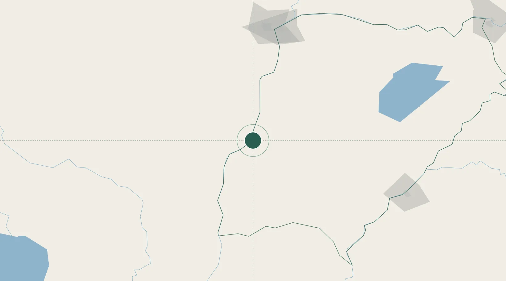
Hub Profile
Place type
Populated place
Region
Formosa
Time zone
America/Argentina/Cordoba
Elevation
95 m
Location
Nearby Logistics Neighbours
Cities
- 1Reconquista48 km
- 2Bella Vista59 km
- 3Barranqueras172 km
- 4Corrientes176 km
- 5San Javier189 km
Airports
- 1Goya Airport11 km
- 2Reconquista Airport53 km
- 3Curuzu Cuatia Airport144 km
- 4Resistencia International Airport175 km
- 5Corrientes Airport180 km
Trade Zones
- 1Rivera Free Zone410 km
- 2Zona Franca UPM465 km
- 3UPM Fray Bentos Free Zone465 km
- 4Córdoba Free Trade Zone542 km
- 5Nueva Palmira Free Zone547 km
DatabookThe Record of Consolidated Knowledge
Argentina beyond logistics?