Large airport · Argentina
Resistencia International AirportSARE
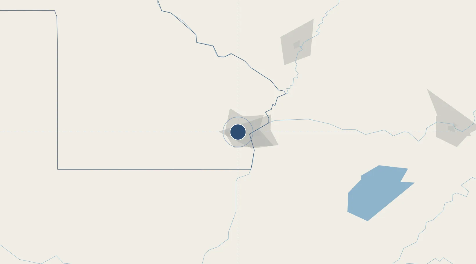
-27.4499°, -59.0561°
9,088 ft
Longest runway
1
Runways
173 ft
Elevation
Runway & Layout

Radio Frequencies
TWR
118.7 MHz
TWR/APP
ACC
119.5 MHz
RESISTENCIA
RDO
122.3 MHz
Navaids
SIS VOR-DME Resistencia 115.10 MHz
Runways · 1
| Runway | Dimensions | Surface | True heading | Lit |
|---|---|---|---|---|
| 3/21 | 9,088 × 148ft | Asphalt | 021° | ✓ |
Airport Specifications
IATA code
RES
ICAO code
SARE
Airport class
Large airport
Scheduled service
Yes
Runway surface
Asphalt
Served city
Resistencia
Location
Nearby Logistics Neighbours
Airports
- 1Corrientes Airport29 km
- 2Aeródromo Don Carlos Miguel Gimenez97 km
- 3Aeródromo Estancia Don Panos137 km
- 4Formosa National Airport160 km
- 5Goya Airport185 km
Cities
- 1Barranqueras14 km
- 2Corrientes22 km
- 3Bella Vista117 km
- 4Puerto Lavalle175 km
- 5Reconquista198 km
Ports
- 1Puerto De Asuncion279 km
- 2Concordia450 km
- 3Santa Fe493 km
- 4Parana496 km
- 5Diamante536 km
Trade Zones
- 1Zona Franca Global484 km
- 2Zona Franca Internacional485 km
- 3Zona Franca Puerto Iguazu Free Trade Zone492 km
- 4Rivera Free Zone516 km
- 5Zona Franca Tucuman Free Trade Zone608 km
DatabookThe Record of Consolidated Knowledge
Argentina beyond logistics?