UN/LOCODE hub · Argentina
ARSLU

Sta. Lucía

-31.5333°, -68.4833°
2
Transport functions

Transport Functions

Road
Multimodal
UN/LOCODE

Hub Profile

Region
J
GeoNames

Location

Location of ARSLU
Natural Earth 10m (public domain) · J · ARSLU · -31.53, -68.48GoogleOSMYandex

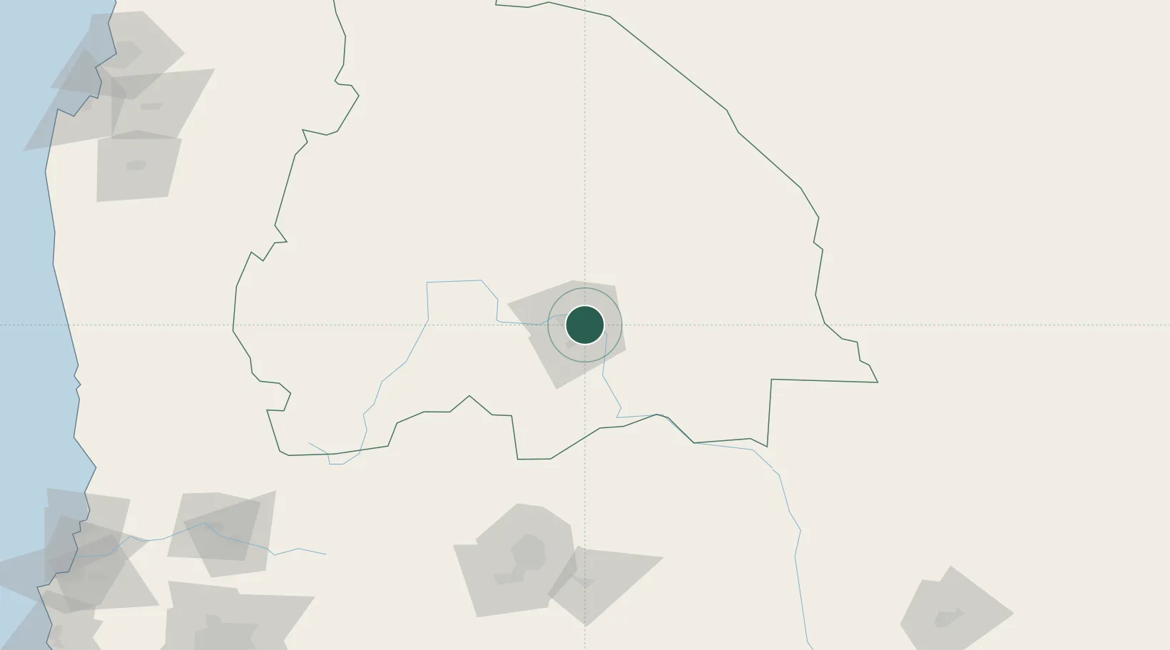
Nearby Logistics Neighbours

Cities
  1. 1Chimbas7 km
  2. 2Zonda24 km
  3. 3Godoy Cruz159 km
  4. 4Luzuriaga161 km
  5. 5Gobernador Benegas161 km
Nearest neighbours — logibook spatial index (haversine) over the source coordinates
Ports
  1. 1Bahia Quintero (Ventanas)318 km
  2. 2Coquimbo324 km
  3. 3Bahia Herradura Guayacan326 km
  4. 4Bahia De Valparaiso339 km
  5. 5Puerto San Antonio372 km
Nearest neighbours — logibook spatial index (haversine) over the source coordinates
Trade Zones
  1. 1Zona Franca Mendoza Free Trade Zone176 km
  2. 2Zona Franca de San Luis401 km
  3. 3Justo Daract Free Trade Zone401 km
  4. 4Córdoba Free Trade Zone410 km
  5. 5Zona Franca Tucuman Free Trade Zone610 km
Nearest neighbours — logibook spatial index (haversine) over the source coordinates
DatabookThe Record of Consolidated Knowledge
Argentina beyond logistics?
Browse databook

All Sources

LocationsUN/LOCODE
UN/LOCODE — free
Portsthe NGA World Port Index
Public domain (US gov)
AirportsOurAirports
Public domain
Trade Zonesthe World Bank SEZ database
CC BY 4.0
Trade ZonesOpen Zone Map
CC BY
← Argentina locations