Transport Functions
Multimodal
Hub Profile
Region
20
Location
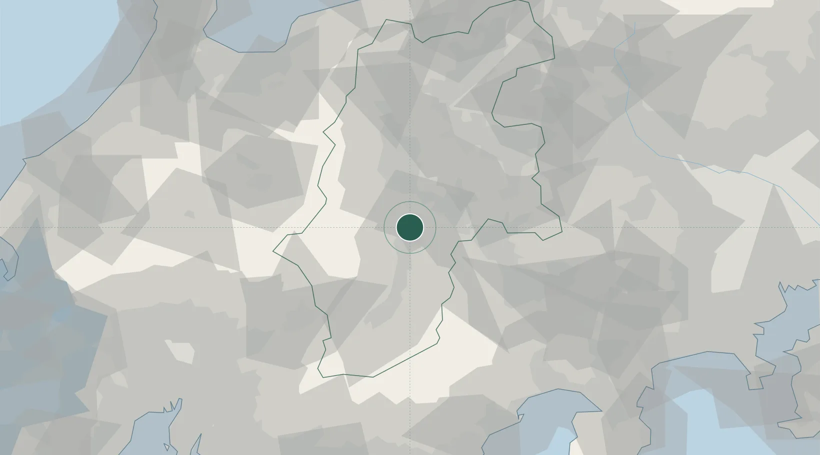
Nearby Logistics Neighbours
Cities
- 1Ina, Nagano16 km
- 2Chino17 km
- 3Miyada17 km
- 4Shiojiri, Nagano20 km
- 5Iijima, Nagano28 km
Ports
- 1Tagonoura Ko109 km
- 2Shimizu Ko111 km
- 3Fushiki-Toyama121 km
- 4Himekawa125 km
- 5Nagoya Ko138 km
Airports
- 1Shinshu-Matsumoto Airport28 km
- 2Toyama Kitokito Airport108 km
- 3Gifu Airport116 km
- 4Nagoya Airport / JASDF Komaki Air Base121 km
- 5Yokota Air Base124 km
Trade Zones
- 1Minami-Alps Competitiveness and Sustainability Special Zone55 km
- 2Fuji-no-kuni Disaster Mitigation Regional Growth Model Comprehensive Special Zone111 km
- 3Gunma Cancer Treatment Technology Regional Revitalization Comprehensive Special Zone111 km
- 4Toyota Next Generation Energy and Mobility Creation Special Zone113 km
- 5Woven City Toyota114 km
DatabookThe Record of Consolidated Knowledge
Japan beyond logistics?