Medium airport · Greenland
Narsarsuaq AirportBGBW
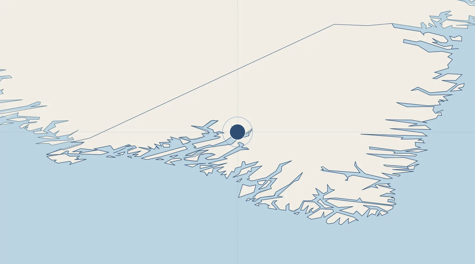
61.1605°, -45.4260°
6,004 ft
Longest runway
1
Runways
112 ft
Elevation
Runway & Layout

Radio Frequencies
AFIS
119.1 MHz
Navaids
NA NDB Narsarsuaq 359 kHz
NQ DME Narsarsuaq 111.85 MHz
Runways · 1
| Runway | Dimensions | Surface | True heading | Lit |
|---|---|---|---|---|
| 06/24 | 6,004 × 148ft | Concrete | 041° | ✓ |
Airport Specifications
IATA code
UAK
ICAO code
BGBW
Airport class
Medium airport
Scheduled service
Yes
Runway surface
Concrete
Served city
Narsarsuaq
Location
Nearby Logistics Neighbours
Airports
- 1Igaliku Heliport19 km
- 2Narsaq Heliport44 km
- 3Qaqortoq Heliport59 km
- 4Ammassivik Heliport63 km
- 5Eqalugaarsuit Heliport66 km
Cities
- 1Nalunaq Gold Mine98 km
- 2Beauly428 km
- 3Nuuk (Godthaab)466 km
- 4Seqi Olivine Mine524 km
- 5Toqqusaq535 km
Ports
- 1Narsarssuaq1 km
- 2Narsaq43 km
- 3Qaqortoq59 km
- 4Nanortalik Havn117 km
- 5Gronnedal (Kangilinnguit)144 km
Trade Zones
- 1Crossroads Business Park1475 km
- 2Cape Breton Regional Municipality Foreign Trade Zone1938 km
- 3FTZ No. 179 Madawaska2123 km
- 4Halifax Gateway2186 km
- 5Saint John2218 km
DatabookThe Record of Consolidated Knowledge
Greenland beyond logistics?