Large airport · Kiribati
Cassidy International AirportPLCH
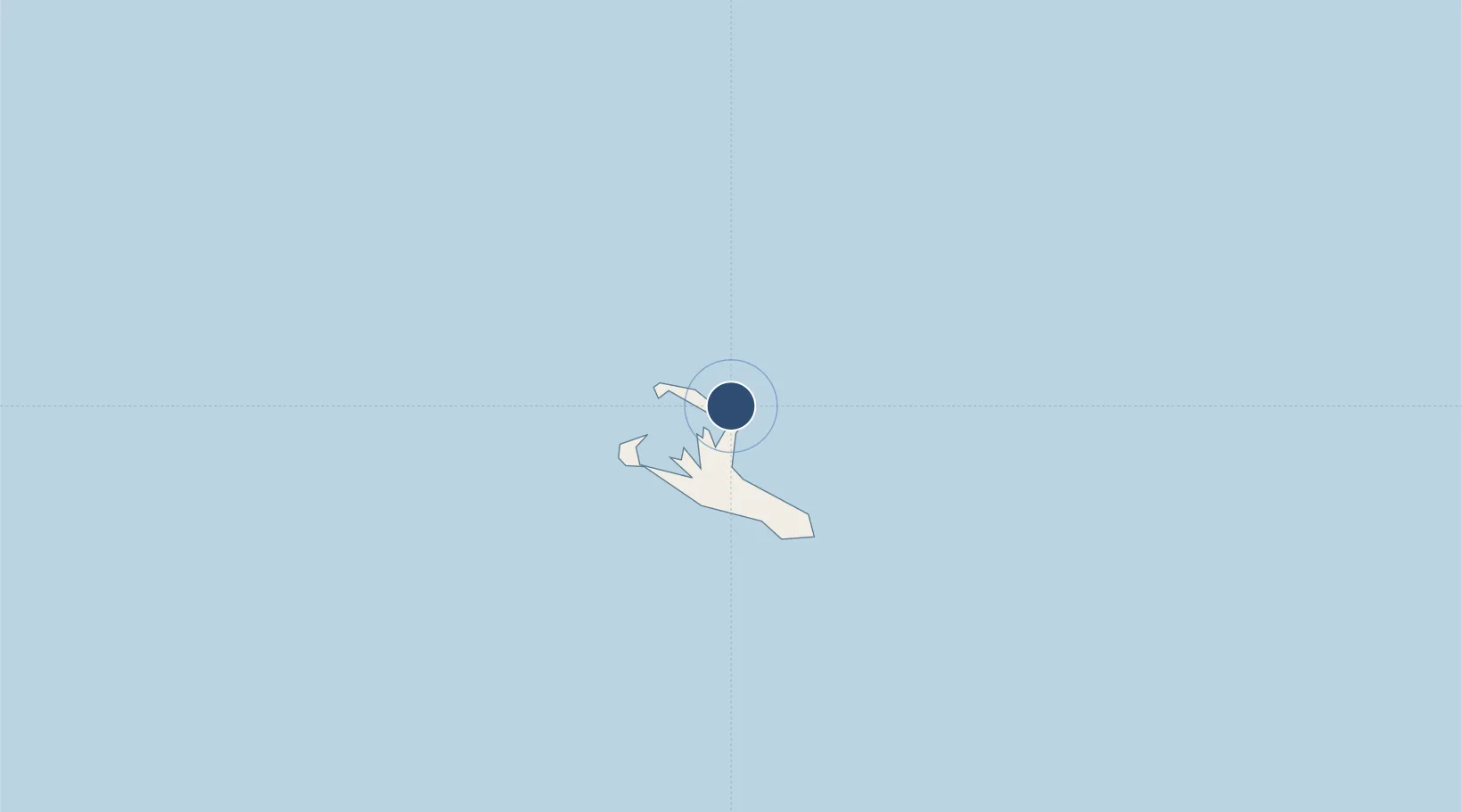
1.9863°, -157.3500°
6,900 ft
Longest runway
1
Runways
5 ft
Elevation
Runway & Layout

Radio Frequencies
INFO
118.1 MHz
AFIS
INFO
346 MHz
AFIS
Navaids
XI NDB Christmas Island 333 kHz
Runways · 1
| Runway | Dimensions | Surface | True heading | Lit |
|---|---|---|---|---|
| 08/26 | 6,900 × 98ft | Asphalt | 090° | ✓ |
Airport Specifications
IATA code
CXI
ICAO code
PLCH
Airport class
Large airport
Scheduled service
Yes
Runway surface
Asphalt
Served city
Kiritimati
Location
Nearby Logistics Neighbours
Airports
- 1Manihiki Island Airport1433 km
- 2Canton Island Airport1682 km
- 3Mataiva Airport2101 km
- 4Tikehau Airport2151 km
- 5Rangiroa Airport2165 km
Cities
- 1Enderbury Island1630 km
- 2Birnie Island1692 km
- 3Sydney Island1703 km
- 4Hull Island1800 km
- 5Santa Rita1885 km
Ports
- 1Canton Island1685 km
- 2Kailua1968 km
- 3Hilo1989 km
- 4Kawaihae2014 km
- 5Hana2092 km
Trade Zones
- 1FTZ No. 009 Honolulu2148 km
- 2FTZ No. 205 Port Hueneme5331 km
- 3FTZ No. 003 San Francisco5343 km
- 4FTZ No. 018 San Jose5345 km
- 5FTZ No. 056 Oakland5352 km
DatabookThe Record of Consolidated Knowledge
Kiribati beyond logistics?