Large airport · Cook Islands

Rarotonga International AirportNCRG

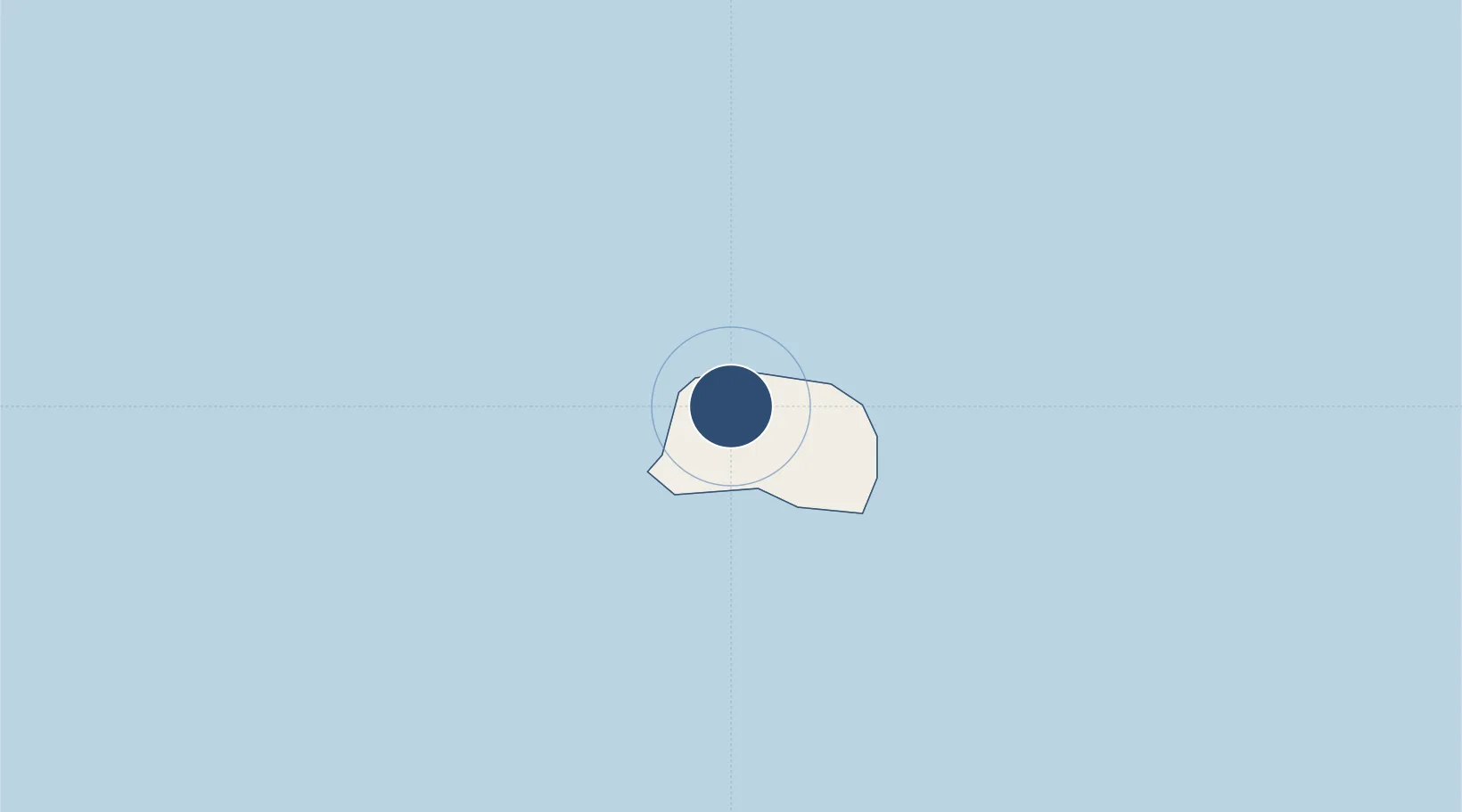
-21.2027°, -159.8060°
7,638 ft
Longest runway
1
Runways
19 ft
Elevation

Runway & Layout

Rarotonga International Airport runway & taxiway layout
Runway & taxiway layout — OpenStreetMap (ODbL) / OurAirports

Radio Frequencies

TWR
118.1 MHz
APP
118.1 MHz
RDO
342.5 MHz
OurAirports

Navaids

RG VOR-DME Rarotonga 113.50 MHz
RG NDB Rarotonga 352 kHz
OurAirports

Runways · 1

RunwayDimensions SurfaceTrue headingLit
08/26 7,638 × 150ft Concrete 090°
OurAirports

Airport Specifications

IATA code
RAR
OurAirports
ICAO code
NCRG
OurAirports
Airport class
Large airport
OurAirports
Scheduled service
Yes
OurAirports
Runway surface
Concrete
OurAirports
Served city
Avarua
OurAirports

Location

Location of NCRG
Natural Earth 10m (public domain) · Rarotonga · NCRG · -21.20, -159.81GoogleOSMYandex

Nearby Logistics Neighbours

Airports
  1. 1Enua Airport223 km
  2. 2Aitutaki Airport264 km
  3. 3Mitiaro Island Airport266 km
  4. 4Mauke Airport282 km
  5. 5Rimatara Airport739 km
Nearest neighbours — logibook spatial index (haversine) over the source coordinates
Cities
  1. 1Moerai884 km
  2. 2Auti886 km
  3. 3Bora Bora999 km
  4. 4Raiatea1008 km
  5. 5Uturoa1009 km
Nearest neighbours — logibook spatial index (haversine) over the source coordinates
Ports
  1. 1Avatiu2 km
  2. 2Vaitape996 km
  3. 3Uturoa1009 km
  4. 4Alofi1084 km
  5. 5Papeete1147 km
Nearest neighbours — logibook spatial index (haversine) over the source coordinates
Trade Zones
  1. 1FTZ No. 009 Honolulu4731 km
  2. 2FTZ No. 153 San Diego7511 km
  3. 3FTZ No. 202 Los Angeles7527 km
  4. 4FTZ No. 050 Long Beach7542 km
  5. 5FTZ No. 244 Riverside County7603 km
Nearest neighbours — logibook spatial index (haversine) over the source coordinates
DatabookThe Record of Consolidated Knowledge
Cook Islands beyond logistics?
Browse databook

All Sources

AirportsOurAirports
Public domain
Portsthe NGA World Port Index
Public domain (US gov)
LocationsUN/LOCODE
UN/LOCODE — free
Trade Zonesthe World Bank SEZ database
CC BY 4.0
Trade ZonesOpen Zone Map
CC BY
InfrastructureOpenStreetMap
ODbL 1.0
← Cook Islands airports