Small airport · Cook Islands

Mitiaro Island AirportNCMR

-19.8425°, -157.7030°
25 ft
Elevation

Runway & Layout

Mitiaro Island Airport runway & taxiway layout
Runway & taxiway layout — OpenStreetMap (ODbL) / OurAirports

Airport Specifications

IATA code
MOI
OurAirports
ICAO code
NCMR
OurAirports
Airport class
Small airport
OurAirports
Scheduled service
Yes
OurAirports
Served city
Mitiaro Island
OurAirports

Location

Location of NCMR
Natural Earth 10m (public domain) · Eastern · NCMR · -19.84, -157.70GoogleOSMYandex

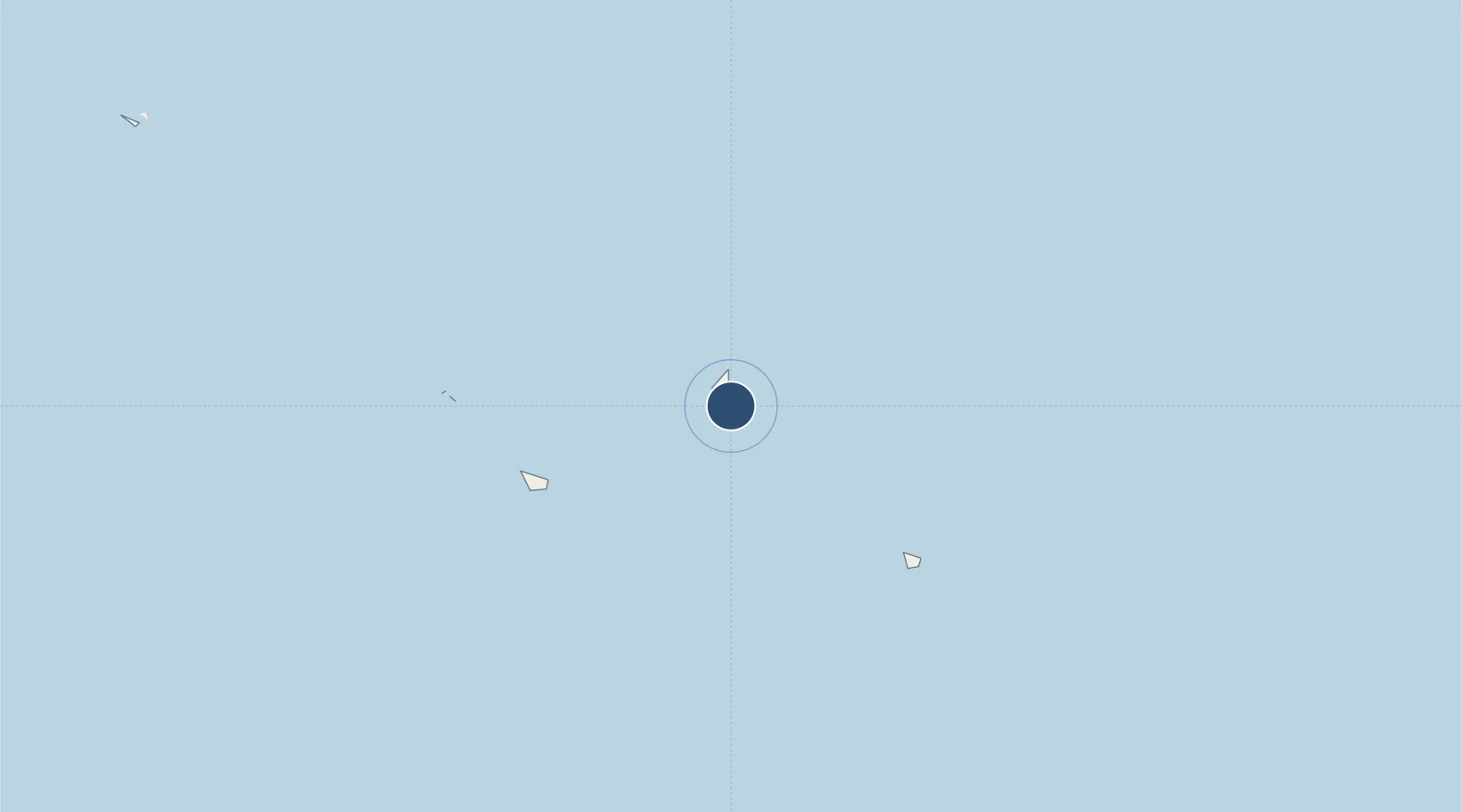
Nearby Logistics Neighbours

Airports
  1. 1Enua Airport46 km
  2. 2Mauke Airport50 km
  3. 3Aitutaki Airport244 km
  4. 4Rarotonga International Airport266 km
  5. 5Rimatara Airport595 km
Nearest neighbours — logibook spatial index (haversine) over the source coordinates
Cities
  1. 1Moerai720 km
  2. 2Auti723 km
  3. 3Bora Bora733 km
  4. 4Raiatea744 km
  5. 5Uturoa745 km
Nearest neighbours — logibook spatial index (haversine) over the source coordinates
Ports
  1. 1Avatiu264 km
  2. 2Vaitape730 km
  3. 3Uturoa745 km
  4. 4Papeete893 km
  5. 5Alofi1285 km
Nearest neighbours — logibook spatial index (haversine) over the source coordinates
Trade Zones
  1. 1FTZ No. 009 Honolulu4575 km
  2. 2FTZ No. 153 San Diego7258 km
  3. 3FTZ No. 202 Los Angeles7276 km
  4. 4FTZ No. 050 Long Beach7291 km
  5. 5FTZ No. 244 Riverside County7351 km
Nearest neighbours — logibook spatial index (haversine) over the source coordinates
DatabookThe Record of Consolidated Knowledge
Cook Islands beyond logistics?
Browse databook

All Sources

AirportsOurAirports
Public domain
Portsthe NGA World Port Index
Public domain (US gov)
LocationsUN/LOCODE
UN/LOCODE — free
Trade Zonesthe World Bank SEZ database
CC BY 4.0
Trade ZonesOpen Zone Map
CC BY
InfrastructureOpenStreetMap
ODbL 1.0
← Cook Islands airports