Small airport · Cook Islands

Mauke AirportNCMK

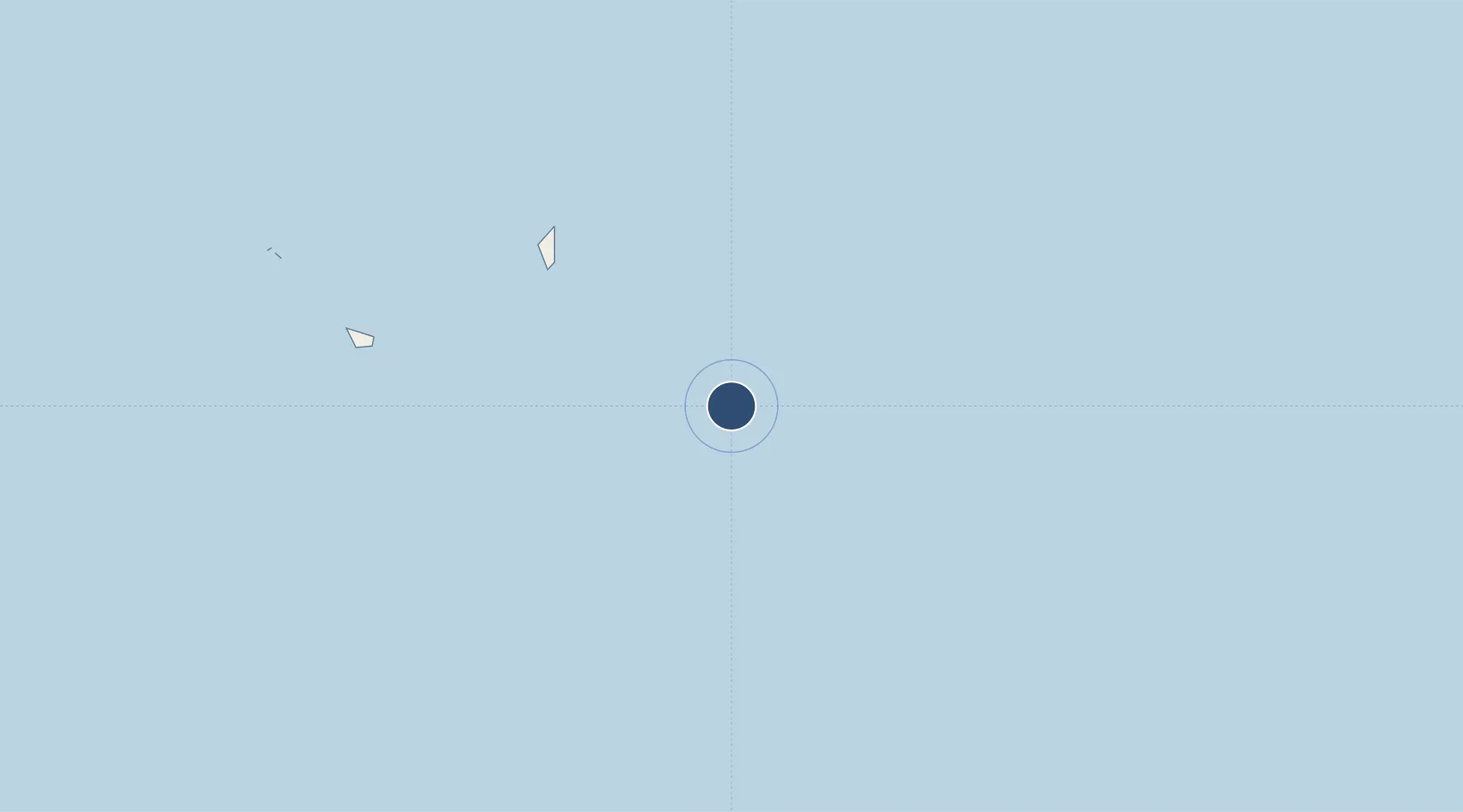
-20.1361°, -157.3450°
4,921 ft
Longest runway
1
Runways
26 ft
Elevation

Runway & Layout

Mauke Airport runway & taxiway layout
Runway & taxiway layout — OpenStreetMap (ODbL) / OurAirports

Runways · 1

RunwayDimensions SurfaceTrue headingLit
10/28 4,921 × —ft Unknown
OurAirports

Airport Specifications

IATA code
MUK
OurAirports
ICAO code
NCMK
OurAirports
Airport class
Small airport
OurAirports
Scheduled service
Yes
OurAirports
Runway surface
Unknown
OurAirports
Served city
Mauke Island
OurAirports

Location

Location of NCMK
Natural Earth 10m (public domain) · Eastern · NCMK · -20.14, -157.35GoogleOSMYandex

Nearby Logistics Neighbours

Airports
  1. 1Mitiaro Island Airport50 km
  2. 2Enua Airport83 km
  3. 3Rarotonga International Airport282 km
  4. 4Aitutaki Airport292 km
  5. 5Rimatara Airport546 km
Nearest neighbours — logibook spatial index (haversine) over the source coordinates
Cities
  1. 1Moerai672 km
  2. 2Auti675 km
  3. 3Bora Bora719 km
  4. 4Raiatea726 km
  5. 5Uturoa728 km
Nearest neighbours — logibook spatial index (haversine) over the source coordinates
Ports
  1. 1Avatiu280 km
  2. 2Vaitape716 km
  3. 3Uturoa728 km
  4. 4Papeete866 km
  5. 5Alofi1324 km
Nearest neighbours — logibook spatial index (haversine) over the source coordinates
Trade Zones
  1. 1FTZ No. 009 Honolulu4608 km
  2. 2FTZ No. 153 San Diego7261 km
  3. 3FTZ No. 202 Los Angeles7281 km
  4. 4FTZ No. 050 Long Beach7296 km
  5. 5FTZ No. 244 Riverside County7356 km
Nearest neighbours — logibook spatial index (haversine) over the source coordinates
DatabookThe Record of Consolidated Knowledge
Cook Islands beyond logistics?
Browse databook

All Sources

AirportsOurAirports
Public domain
Portsthe NGA World Port Index
Public domain (US gov)
LocationsUN/LOCODE
UN/LOCODE — free
Trade Zonesthe World Bank SEZ database
CC BY 4.0
Trade ZonesOpen Zone Map
CC BY
InfrastructureOpenStreetMap
ODbL 1.0
← Cook Islands airports