About
Methodology
Sources
Licensing
English
EN
English
TR
Türkçe
DE
Deutsch
FR
Français
ES
Español
IT
Italiano
PT
Português
NL
Nederlands
PL
Polski
RU
Русский
UK
Українська
CS
Čeština
RO
Română
EL
Ελληνικά
BG
Български
AR
العربية
FA
فارسی
UR
اردو
HI
हिन्दी
BN
বাংলা
ID
Bahasa Indonesia
VI
Tiếng Việt
ZH
中文
JA
日本語
KO
한국어
logibook
/
Countries
/
Moldova
/
Locations
/
Burlacu
UN/LOCODE hub ·
Moldova
MD
BLU
Burlacu
46.0333°, 28.4000°
1
Transport functions
Transport Functions
Multimodal
UN/LOCODE
Hub Profile
Place type
Populated place
GeoNames
Region
Cahul
GeoNames
Time zone
Europe/Chisinau
GeoNames
Elevation
90 m
GeoNames
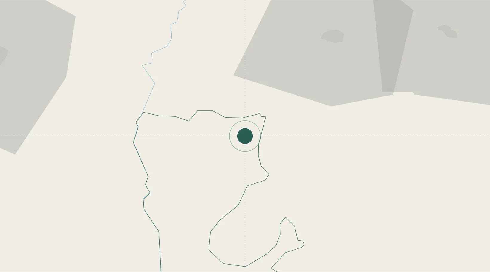
Location
Natural Earth 10m (public domain) · Cahul · MDBLU · 46.03, 28.40
Google ↗
OSM ↗
Yandex ↗
Nearby Logistics Neighbours
Cities
1
Basarabeasca
54 km
2
Giurgiulesti
65 km
3
Reni
69 km
4
Galati
72 km
5
Husi
75 km
Nearest neighbours — logibook spatial index (haversine) over the source coordinates
Ports
1
Reni
67 km
2
Galati
73 km
3
Izmayil
85 km
4
Braila
93 km
5
Tulcea
102 km
Nearest neighbours — logibook spatial index (haversine) over the source coordinates
Airports
1
Cahul International Airport
24 km
2
Zhovtneve Air Base
49 km
3
Chişinău International Airport
108 km
4
Tulcea Danube Delta Airport
111 km
5
Bacău George Enescu International Airport
127 km
Nearest neighbours — logibook spatial index (haversine) over the source coordinates
Trade Zones
1
Free Enterprise Zone - Production Park Taraclia
24 km
2
Free Enterprise Zone Tvardita
46 km
3
Giurgiulesti International Free Port
65 km
4
Reni Special Economic Zone
66 km
5
Free zone Brăila
91 km
Nearest neighbours — logibook spatial index (haversine) over the source coordinates
Data
book
The Record of Consolidated Knowledge
Moldova beyond logistics?
Browse databook
→
All Sources
Locations
UN/LOCODE
UN/LOCODE — free
↗
Ports
the NGA World Port Index
Public domain (US gov)
↗
Airports
OurAirports
Public domain
↗
Trade Zones
the World Bank SEZ database
CC BY 4.0
↗
Trade Zones
Open Zone Map
CC BY
↗
← Moldova locations