Large airport · Türkiye
Konya AirportLTAN
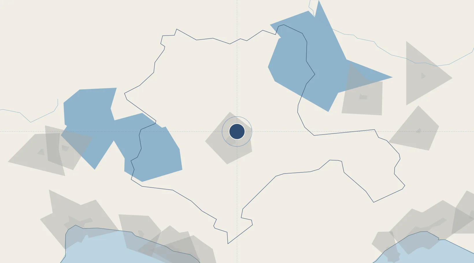
37.9790°, 32.5619°
10,990 ft
Longest runway
2
Runways
3,392 ft
Elevation
Runway & Layout

Radio Frequencies
ATIS
233.4 MHz
TWR
122.1 MHz
Main TWR
TWR
257.8 MHz
Sub-Tower
GND
122.1 MHz
APP
121.5 MHz
Emergency
APP
122.1 MHz
Main APP
APP
243 MHz
Emergency
HAVAS
131.425 MHz
Handling Services
Navaids
KNY VOR-DME Konya 111.20 MHz
KNY NDB Konya 390 kHz
KON TACAN Konya 114.10 MHz
Runways · 2
| Runway | Dimensions | Surface | True heading | Lit |
|---|---|---|---|---|
| 01L/19R | 10,990 × 148ft | Asphalt / concrete | 017° | ✓ |
| 01R/19L | 10,990 × 148ft | Asphalt / concrete | 017° | ✓ |
Airport Specifications
IATA code
KYA
ICAO code
LTAN
Airport class
Large airport
Scheduled service
Yes
Runway surface
Asphalt / concrete
Served city
Konya
Location
Nearby Logistics Neighbours
Airports
- 1Gazipaşa-Alanya Airport188 km
- 2Afyon Air Base190 km
- 3Süleyman Demirel International Airport193 km
- 4Nevşehir Kapadokya Airport193 km
- 5Sivrihisar Airport194 km
Cities
- 1Konya6 km
- 2Manavgat167 km
- 3Alanya169 km
- 4Karagedik178 km
- 5Dosemealti204 km
Ports
- 1Alanya168 km
- 2Antalya214 km
- 3Antalya Offshore Terminal216 km
- 4Tasucu219 km
- 5Mersin225 km
Trade Zones
DatabookThe Record of Consolidated Knowledge
Türkiye beyond logistics?