Transport Functions
Multimodal
Hub Profile
Region
05
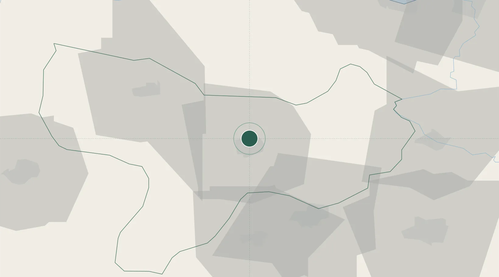
Location
Nearby Logistics Neighbours
Cities
- 1Büyükçukur40 km
- 2Samsun77 km
- 3Gerze106 km
- 4Ünye129 km
- 5Fatsa142 km
Airports
- 1Amasya Merzifon Airport30 km
- 2Tokat Airport63 km
- 3Samsun-Çarşamba Airport85 km
- 4Sivas Nuri Demirağ Airport134 km
- 5Sinop Airport159 km
DatabookThe Record of Consolidated Knowledge
Türkiye beyond logistics?