Transport Functions
Port
Hub Profile
Place type
Provincial seat
Region
Adana
Time zone
Europe/Istanbul
Elevation
19 m
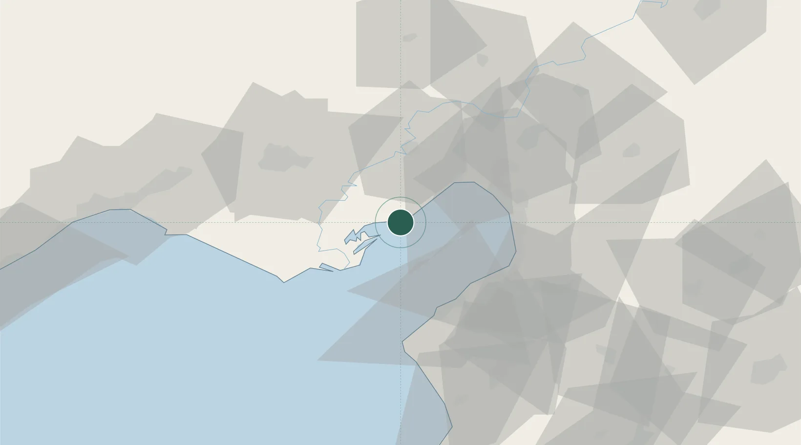
Location
Nearby Logistics Neighbours
Cities
- 1Toros Gubre Terminal, Gubre24 km
- 2Adana28 km
- 3Botas35 km
- 4Isdemir36 km
- 5Dörtyol39 km
Ports
- 1Botas19 km
- 2Toros Gubre23 km
- 3Yakacik36 km
- 4Iskenderun39 km
- 5Mersin103 km
Airports
- 1İncirlik Air Base41 km
- 2Adana Şakirpaşa Airport51 km
- 3Hatay Airport63 km
- 4Çukurova International Airport65 km
- 5Kahramanmaraş Airport135 km
DatabookThe Record of Consolidated Knowledge
Türkiye beyond logistics?