Transport Functions
Multimodal
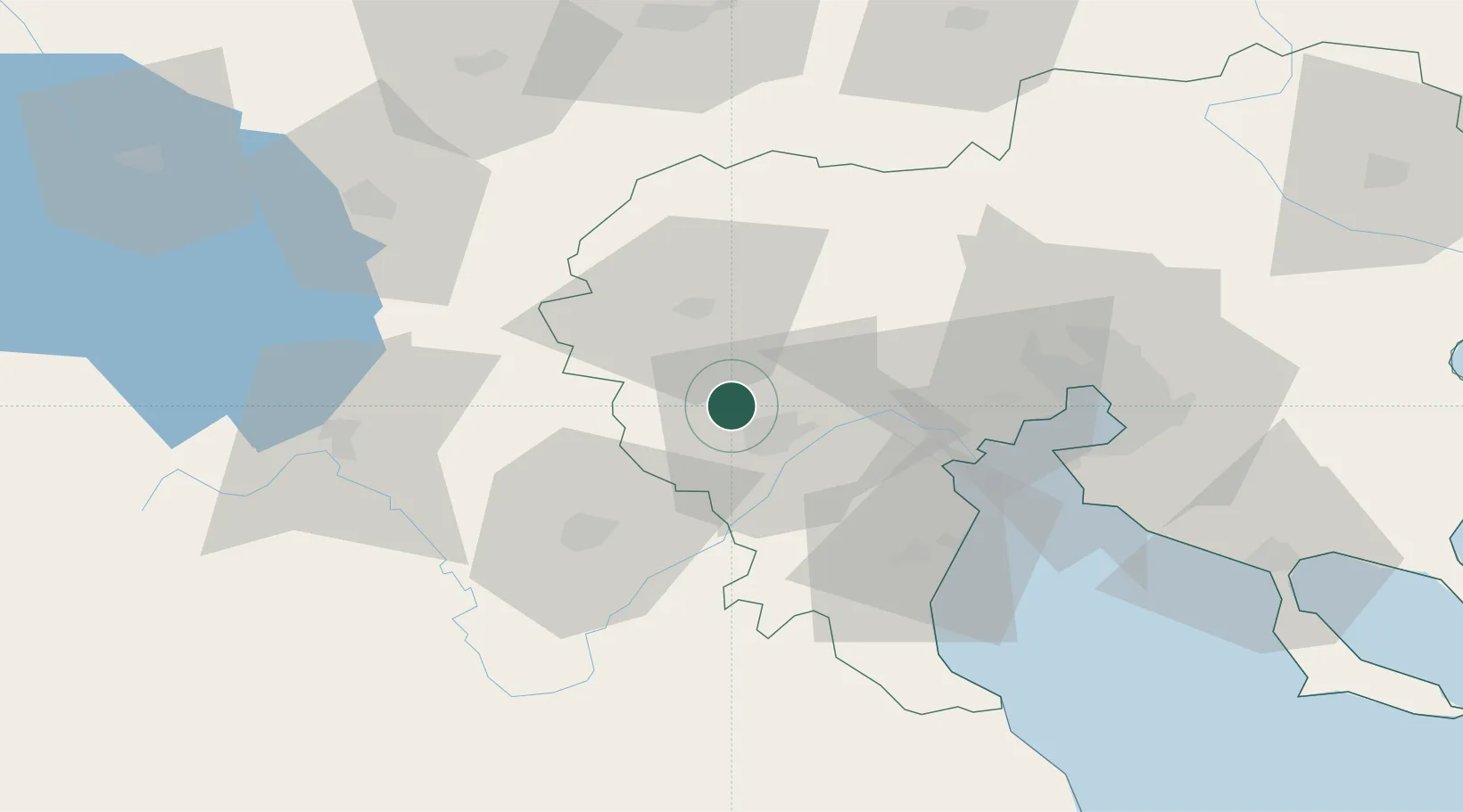
Location
Nearby Logistics Neighbours
Ports
- 1Thessaloniki69 km
- 2Yerakini120 km
- 3Stratoni145 km
- 4Volos154 km
- 5Tsingeli171 km
Airports
Trade Zones
- 1Free Zone of Thessaloniki68 km
- 2TIDZ Gevgelija74 km
- 3TIDZ Prilep92 km
- 4TIDZ Strumica101 km
- 5Korçë Freezone111 km
DatabookThe Record of Consolidated Knowledge
Greece beyond logistics?