Transport Functions
Rail
Road
Airport
Postal
Hub Profile
Place type
Provincial seat
Region
Occitanie
Population
110,706
Time zone
Europe/Paris
Elevation
43 m
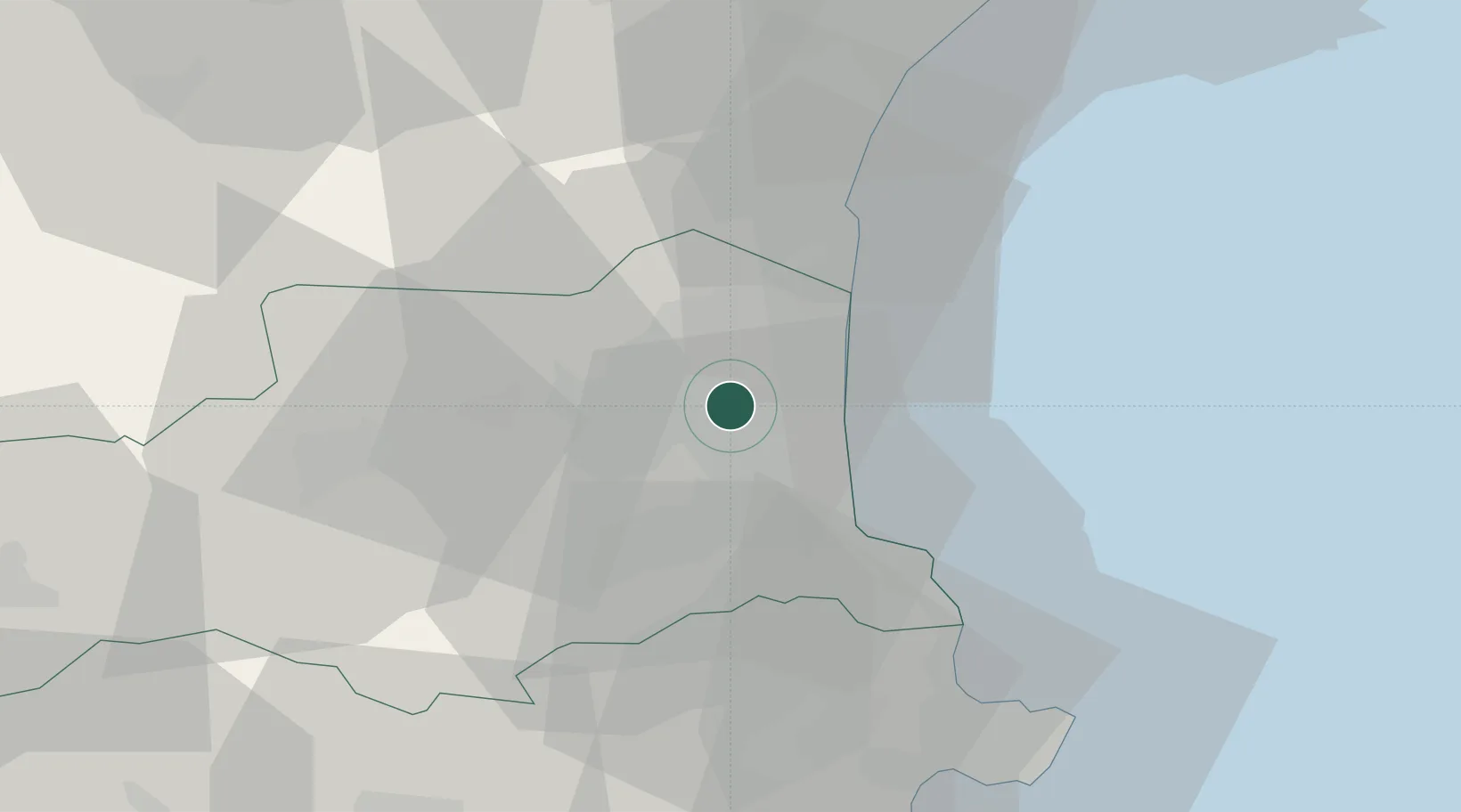
Location
Nearby Logistics Neighbours
Cities
- 1Villeneuve-de-la-Raho8 km
- 2Rivesaltes8 km
- 3Pollestres8 km
- 4Villeneuve-la-Rivière8 km
- 5Le Soler8 km
Ports
- 1Port-Vendres27 km
- 2Port-La-Nouvelle38 km
- 3Rosas54 km
- 4Palamos98 km
- 5Sete101 km
Airports
Trade Zones
- 1ZFU Perpignan1 km
- 2ZFU Béziers75 km
- 3ZFU Montpellier127 km
- 4ZFU Toulouse155 km
- 5Zona Franca de Barcelona165 km
DatabookThe Record of Consolidated Knowledge
France beyond logistics?