Transport Functions
Port
Rail
Airport
Postal
Hub Profile
Place type
District seat
Region
Hauts-de-France
Population
74,433
Time zone
Europe/Paris
Elevation
6 m
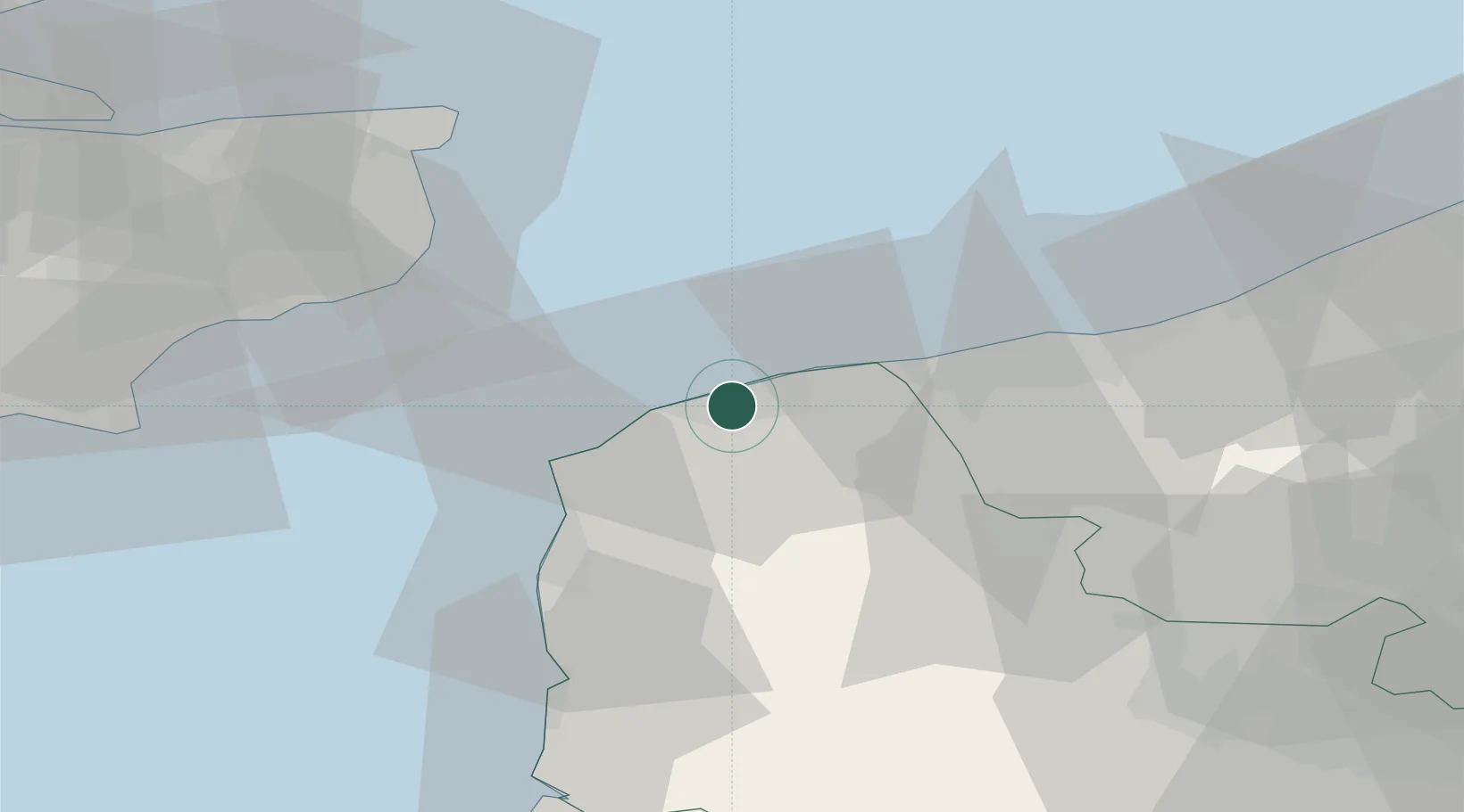
Location
Nearby Logistics Neighbours
Cities
- 1Les Fontinettes2 km
- 2Fréthun4 km
- 3Sangatte7 km
- 4Guînes9 km
- 5Fort-Batard12 km
Ports
- 1Gravelines20 km
- 2Boulogne-Sur-Mer30 km
- 3Dunkerque Port Est37 km
- 4Dover Harbor41 km
- 5Folkestone Harbour48 km
Airports
DatabookThe Record of Consolidated Knowledge
France beyond logistics?