UN/LOCODE hub · France
FRGPO
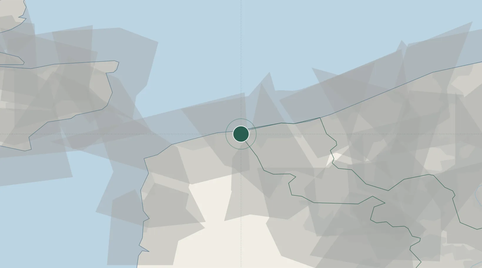
Grand-Fort-Philippe
51.0000°, 2.1000°
6,188
Population
2
Transport functions
Transport Functions
Port
Road
Hub Profile
Place type
Populated place
Region
Hauts-de-France
Population
6,188
Time zone
Europe/Paris
Elevation
4 m
Location
Nearby Logistics Neighbours
Cities
- 1Gravelines3 km
- 2Bourbourg9 km
- 3Dunkerque10 km
- 4Grande-Synthe13 km
- 5Fort-Batard13 km
Ports
- 1Gravelines1 km
- 2Calais18 km
- 3Dunkerque Port Est19 km
- 4Boulogne-Sur-Mer46 km
- 5Nieuwpoort48 km
Airports
Trade Zones
- 1ZFU Saint Pol sur Mer17 km
- 2ZFU Calais19 km
- 3Discovery Park - Sandwich Enterprise Zone62 km
- 4ZFU de Lille et de Loos76 km
- 5ZFU Tourcoing80 km
DatabookThe Record of Consolidated Knowledge
France beyond logistics?