Transport Functions
Road
Multimodal
Hub Profile
Place type
Populated place
Region
Warmia-Masuria
Population
3,320
Time zone
Europe/Warsaw
Elevation
147 m
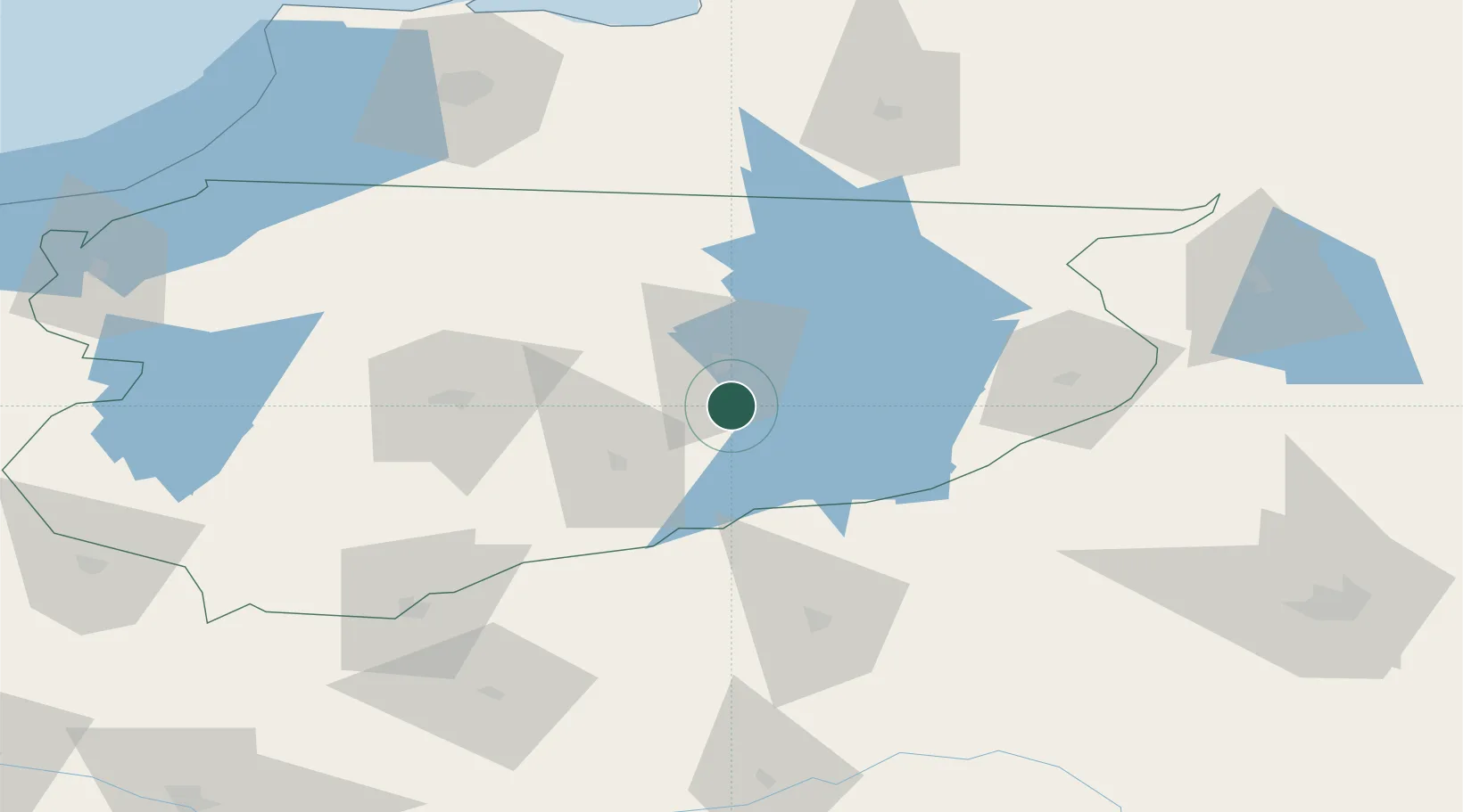
Location
Nearby Logistics Neighbours
Cities
- 1Dzwierzuty26 km
- 2Ketrzyn37 km
- 3Gizycko42 km
- 4Barczewo43 km
- 5Korsze48 km
Ports
- 1Kaliningrad119 km
- 2Baltiysk135 km
- 3Gdansk186 km
- 4Nowy Port189 km
- 5Gdynia201 km
Airports
- 1Olsztyn-Mazury Airport40 km
- 2Chernyakhovsk Naval Air Base99 km
- 3Kaliningrad Chkalovsk Naval Air Base128 km
- 4Khrabrovo Airport135 km
- 5Malbork Królewo Air Base147 km
Trade Zones
DatabookThe Record of Consolidated Knowledge
Poland beyond logistics?