Transport Functions
Road
Multimodal
Hub Profile
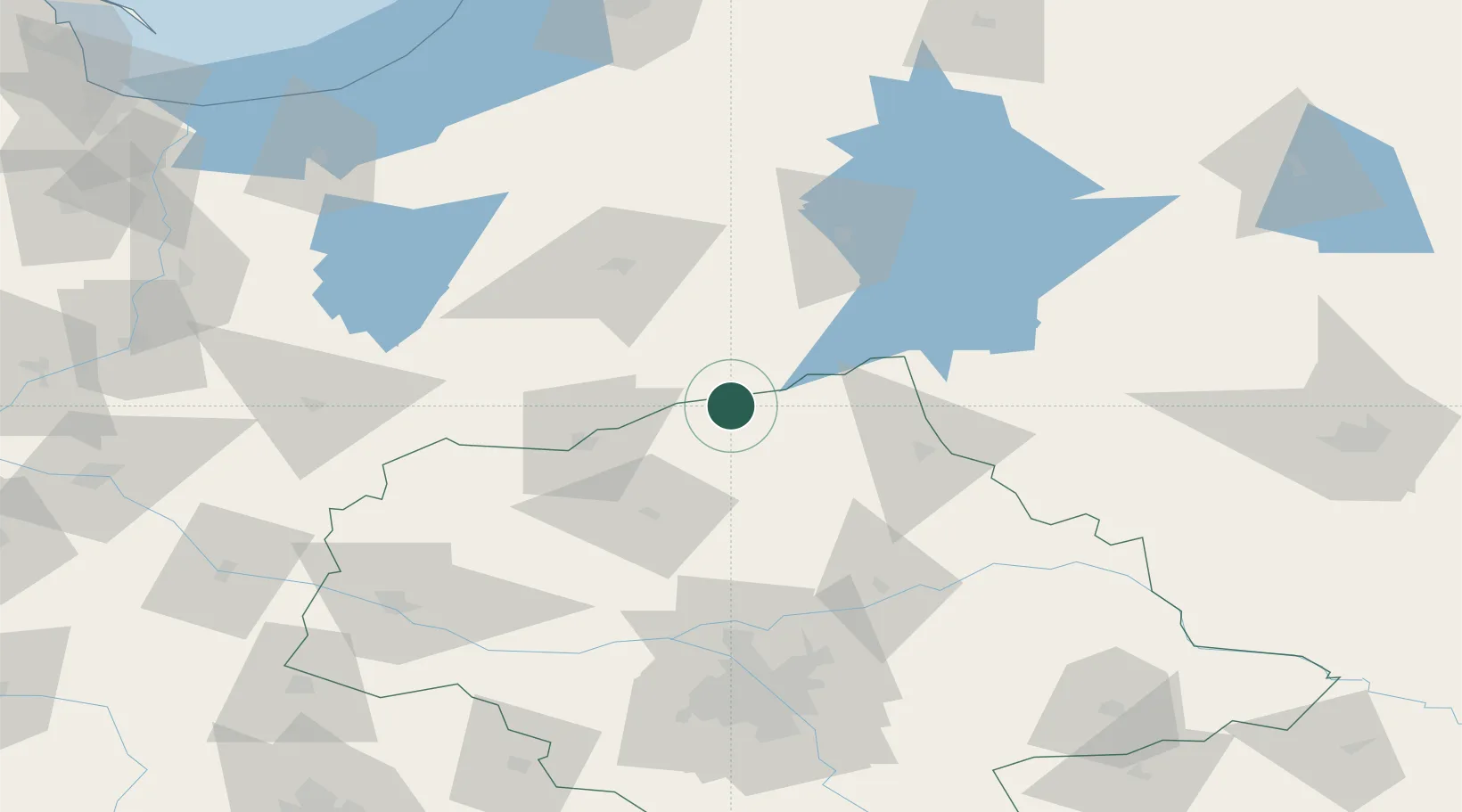
Place type
District seat
Region
Mazovia
Population
2,807
Time zone
Europe/Warsaw
Elevation
124 m
Location
Nearby Logistics Neighbours
Cities
- 1Jednorozec16 km
- 2Przasnysz26 km
- 3Nidzica32 km
- 4Ilowo41 km
- 5Narzym44 km
Ports
- 1Kaliningrad162 km
- 2Baltiysk166 km
- 3Gdansk190 km
- 4Nowy Port195 km
- 5Gdynia209 km
Airports
- 1Olsztyn-Mazury Airport24 km
- 2Warsaw Modlin Airport92 km
- 3Warsaw Chopin Airport123 km
- 4Minsk Mazowiecki Military Air Base130 km
- 5Malbork Królewo Air Base144 km
Trade Zones
DatabookThe Record of Consolidated Knowledge
Poland beyond logistics?