Transport Functions
Rail
Road
Hub Profile
Place type
Populated place
Region
Warmia-Masuria
Population
14,720
Time zone
Europe/Warsaw
Elevation
175 m
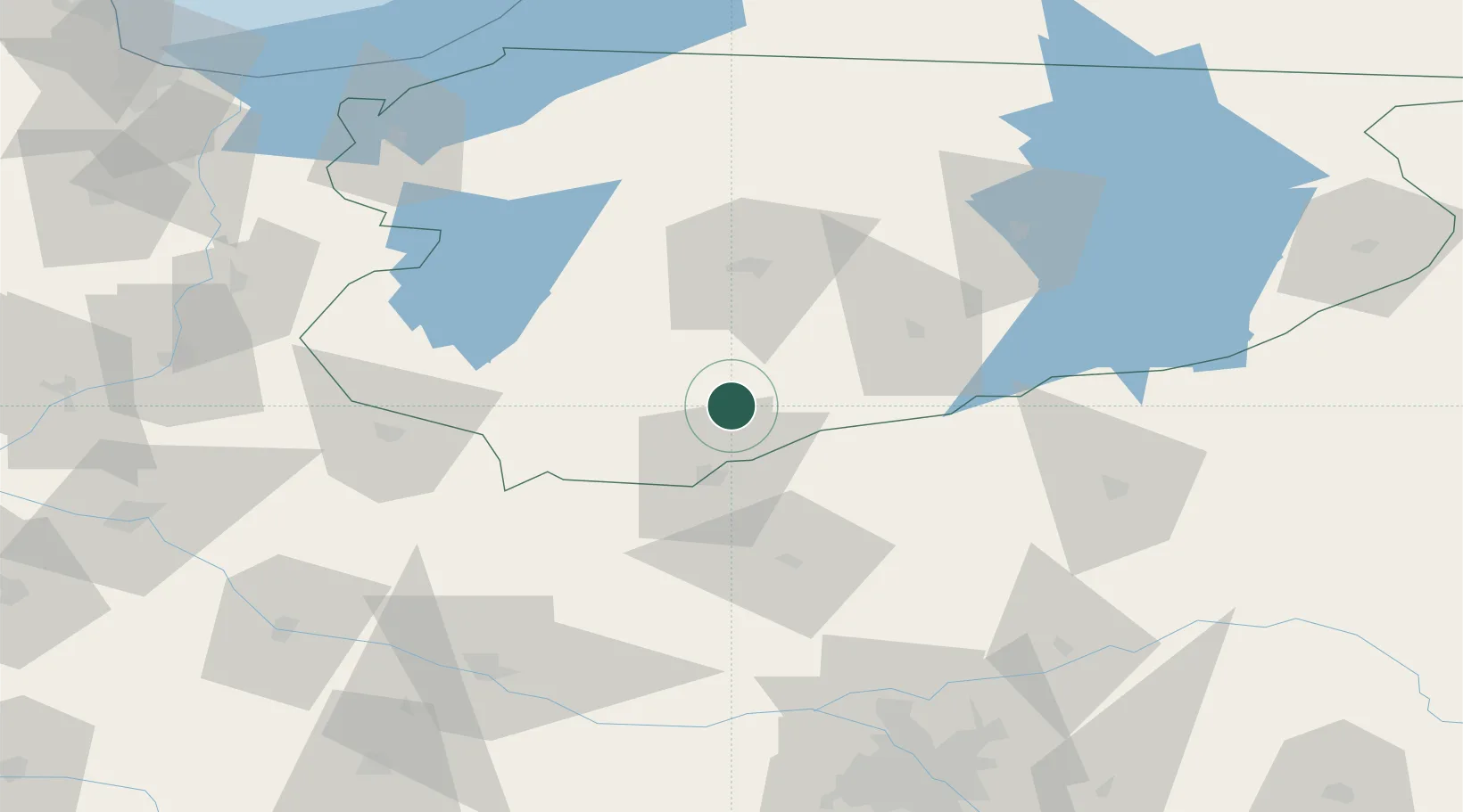
Location
Nearby Logistics Neighbours
Cities
- 1Ilowo21 km
- 2Narzym22 km
- 3Chorzele32 km
- 4Grodziczno45 km
- 5Przasnysz46 km
Ports
- 1Baltiysk147 km
- 2Kaliningrad150 km
- 3Gdansk161 km
- 4Nowy Port166 km
- 5Gdynia180 km
Airports
- 1Olsztyn-Mazury Airport37 km
- 2Warsaw Modlin Airport101 km
- 3Malbork Królewo Air Base114 km
- 4Warsaw Chopin Airport137 km
- 5Inowroclaw Military Air Base152 km
Trade Zones
DatabookThe Record of Consolidated Knowledge
Poland beyond logistics?