Transport Functions
Rail
Road
Hub Profile
Place type
Populated place
Region
Warmia-Masuria
Population
1,380
Time zone
Europe/Warsaw
Elevation
146 m
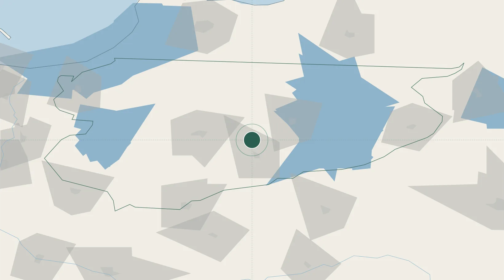
Location
Nearby Logistics Neighbours
Cities
- 1Barczewo21 km
- 2Piecki26 km
- 3Ketrzyn50 km
- 4Chorzele50 km
- 5Lidzbark Warminski51 km
Ports
- 1Kaliningrad114 km
- 2Baltiysk123 km
- 3Gdansk165 km
- 4Nowy Port168 km
- 5Gdynia181 km
Airports
- 1Olsztyn-Mazury Airport26 km
- 2Chernyakhovsk Naval Air Base112 km
- 3Kaliningrad Chkalovsk Naval Air Base122 km
- 4Malbork Królewo Air Base124 km
- 5Khrabrovo Airport132 km
Trade Zones
DatabookThe Record of Consolidated Knowledge
Poland beyond logistics?