Heliport · Greenland

Illorsuit HeliportBGLL

71.2419°, -53.5629°
154 ft
Elevation

Runway & Layout

Illorsuit Heliport runway & taxiway layout
Runway & taxiway layout — OpenStreetMap (ODbL) / OurAirports

Airport Specifications
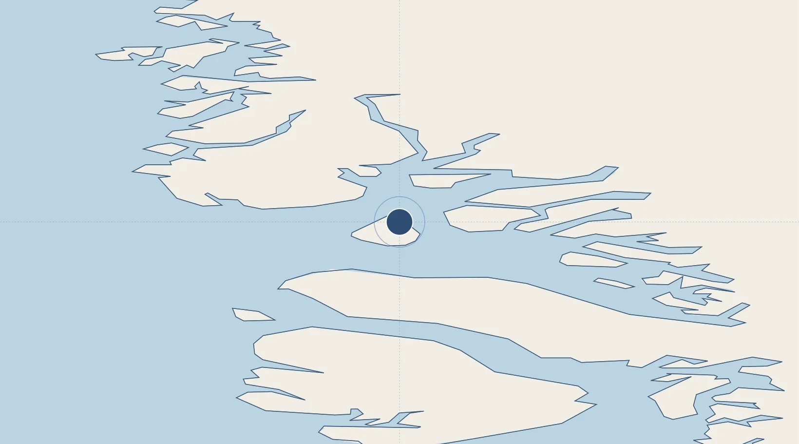
IATA code
IOT
OurAirports
ICAO code
BGLL
OurAirports
Airport class
Heliport
OurAirports
Scheduled service
Yes
OurAirports
Served city
Illorsuit
OurAirports

Location

Location of BGLL
Natural Earth 10m (public domain) · Qaasuitsup Kommunia · BGLL · 71.24, -53.56GoogleOSMYandex

Nearby Logistics Neighbours

Airports
  1. 1Nuugaatsiaq Heliport35 km
  2. 2Niaqornat Heliport51 km
  3. 3Ukkusissat Heliport64 km
  4. 4Qaarsut Airport65 km
  5. 5Uummannaq Heliport82 km
Nearest neighbours — logibook spatial index (haversine) over the source coordinates
Cities
  1. 1Maarmorliik83 km
  2. 2Kullorsuaq390 km
  3. 3Kangerlussuaq Havn487 km
  4. 4Seqi Olivine Mine703 km
  5. 5Toqqusaq711 km
Nearest neighbours — logibook spatial index (haversine) over the source coordinates
Ports
  1. 1Uummannaq83 km
  2. 2Marmorilik83 km
  3. 3Kajalleq Upernavik122 km
  4. 4Qeqertarsuaq223 km
  5. 5Illulissat (Jakobshavn)244 km
Nearest neighbours — logibook spatial index (haversine) over the source coordinates
Trade Zones
  1. 1Crossroads Business Park2480 km
  2. 2FTZ No. 179 Madawaska2775 km
  3. 3Cape Breton Regional Municipality Foreign Trade Zone2814 km
  4. 4Québec City FTZ2871 km
  5. 5Saint John2965 km
Nearest neighbours — logibook spatial index (haversine) over the source coordinates
DatabookThe Record of Consolidated Knowledge
Greenland beyond logistics?
Browse databook

All Sources

AirportsOurAirports
Public domain
Portsthe NGA World Port Index
Public domain (US gov)
LocationsUN/LOCODE
UN/LOCODE — free
Trade Zonesthe World Bank SEZ database
CC BY 4.0
Trade ZonesOpen Zone Map
CC BY
InfrastructureOpenStreetMap
ODbL 1.0
← Greenland airports