Heliport · Greenland
Saqqaq HeliportBGSQ
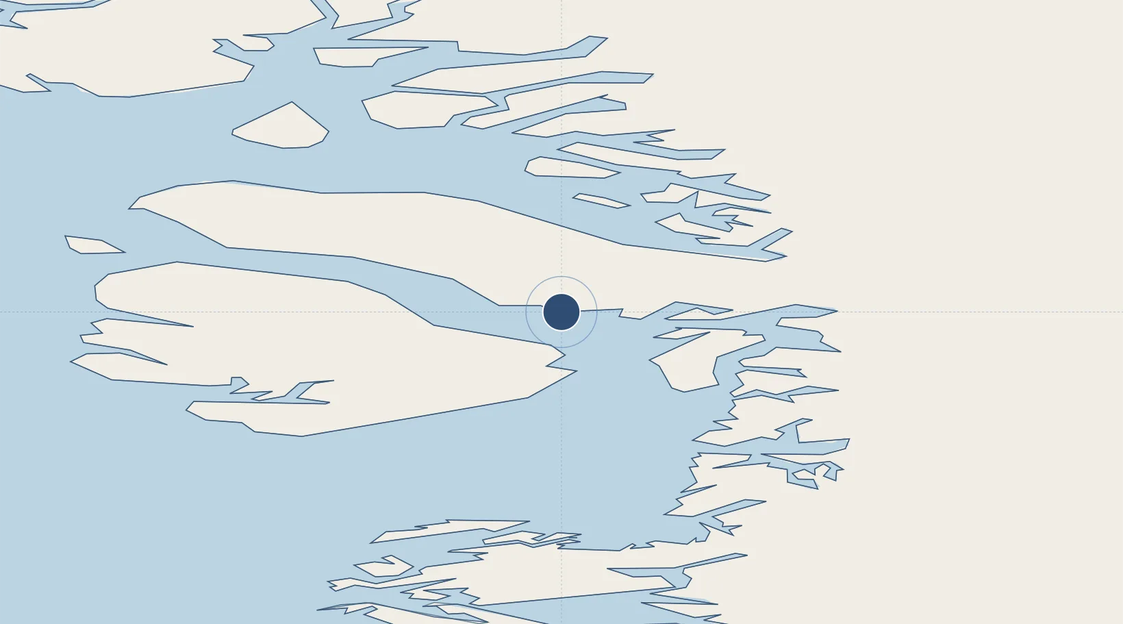
70.0114°, -51.9321°
98 ft
Longest runway
1
Runways
38 ft
Elevation
Runway & Layout

Runways · 1
| Runway | Dimensions | Surface | True heading | Lit |
|---|---|---|---|---|
| H1 | 98 × 66ft | Gravel | — | — |
Airport Specifications
ICAO code
BGSQ
Airport class
Heliport
Scheduled service
Yes
Runway surface
Gravel
Served city
Saqqaq
Location
Nearby Logistics Neighbours
Airports
- 1Qeqertaq Heliport24 km
- 2Ikerasak Heliport59 km
- 3Uummannaq Heliport75 km
- 4Qaarsut Airport85 km
- 5Saattut Heliport90 km
Cities
- 1Maarmorliik127 km
- 2Kangerlussuaq Havn341 km
- 3Kullorsuaq538 km
- 4Seqi Olivine Mine561 km
- 5Toqqusaq572 km
Ports
- 1Uummannaq73 km
- 2Illulissat (Jakobshavn)94 km
- 3Qeqertarsuaq106 km
- 4Marmorilik127 km
- 5Qasigiannguit-Christianshab136 km
Trade Zones
- 1Crossroads Business Park2347 km
- 2FTZ No. 179 Madawaska2679 km
- 3Cape Breton Regional Municipality Foreign Trade Zone2695 km
- 4Québec City FTZ2783 km
- 5Saint John2860 km
DatabookThe Record of Consolidated Knowledge
Greenland beyond logistics?