Heliport · Greenland
Qeqertaq HeliportBGQE
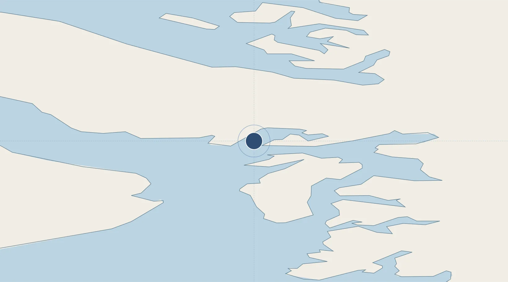
69.9959°, -51.3009°
49 ft
Longest runway
1
Runways
69 ft
Elevation
Runway & Layout

Runways · 1
| Runway | Dimensions | Surface | True heading | Lit |
|---|---|---|---|---|
| H1 | 49 × 49ft | Gravel | — | — |
Airport Specifications
IATA code
PQT
ICAO code
BGQE
Airport class
Heliport
Scheduled service
Yes
Runway surface
Gravel
Served city
Qeqertaq
Location
Nearby Logistics Neighbours
Airports
- 1Saqqaq Heliport24 km
- 2Ikerasak Heliport56 km
- 3Uummannaq Heliport82 km
- 4Ilulissat Airport84 km
- 5Saattut Heliport92 km
Cities
- 1Maarmorliik127 km
- 2Kangerlussuaq Havn337 km
- 3Kullorsuaq547 km
- 4Seqi Olivine Mine559 km
- 5Toqqusaq572 km
Ports
- 1Uummannaq81 km
- 2Illulissat (Jakobshavn)87 km
- 3Qeqertarsuaq121 km
- 4Marmorilik127 km
- 5Qasigiannguit-Christianshab131 km
Trade Zones
- 1Crossroads Business Park2347 km
- 2FTZ No. 179 Madawaska2689 km
- 3Cape Breton Regional Municipality Foreign Trade Zone2700 km
- 4Québec City FTZ2795 km
- 5Saint John2868 km
DatabookThe Record of Consolidated Knowledge
Greenland beyond logistics?