Runway & Layout

Airport Specifications
IATA code
QJH
ICAO code
BGQT
Airport class
Heliport
Scheduled service
Yes
Served city
Qassimiut
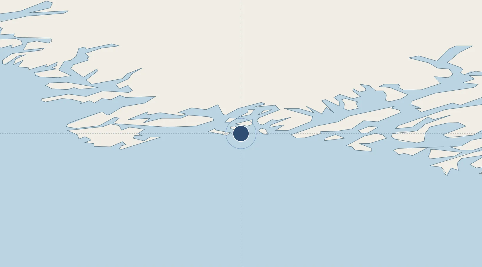
Location
Nearby Logistics Neighbours
Airports
- 1Narsaq Heliport61 km
- 2Qaqortoq Heliport62 km
- 3Saarloq Heliport67 km
- 4Eqalugaarsuit Heliport70 km
- 5Kangilinnguit Heliport71 km
Cities
- 1Nalunaq Gold Mine132 km
- 2Beauly428 km
- 3Nuuk (Godthaab)446 km
- 4Seqi Olivine Mine516 km
- 5Toqqusaq521 km
Ports
- 1Qaqortoq61 km
- 2Narsaq62 km
- 3Gronnedal (Kangilinnguit)72 km
- 4Narsarssuaq102 km
- 5Nanortalik Havn130 km
Trade Zones
- 1Crossroads Business Park1397 km
- 2Cape Breton Regional Municipality Foreign Trade Zone1849 km
- 3FTZ No. 179 Madawaska2023 km
- 4Halifax Gateway2094 km
- 5Saint John2122 km
DatabookThe Record of Consolidated Knowledge
Greenland beyond logistics?