Diversified Zone · China

Ningdu Industrial Park Active
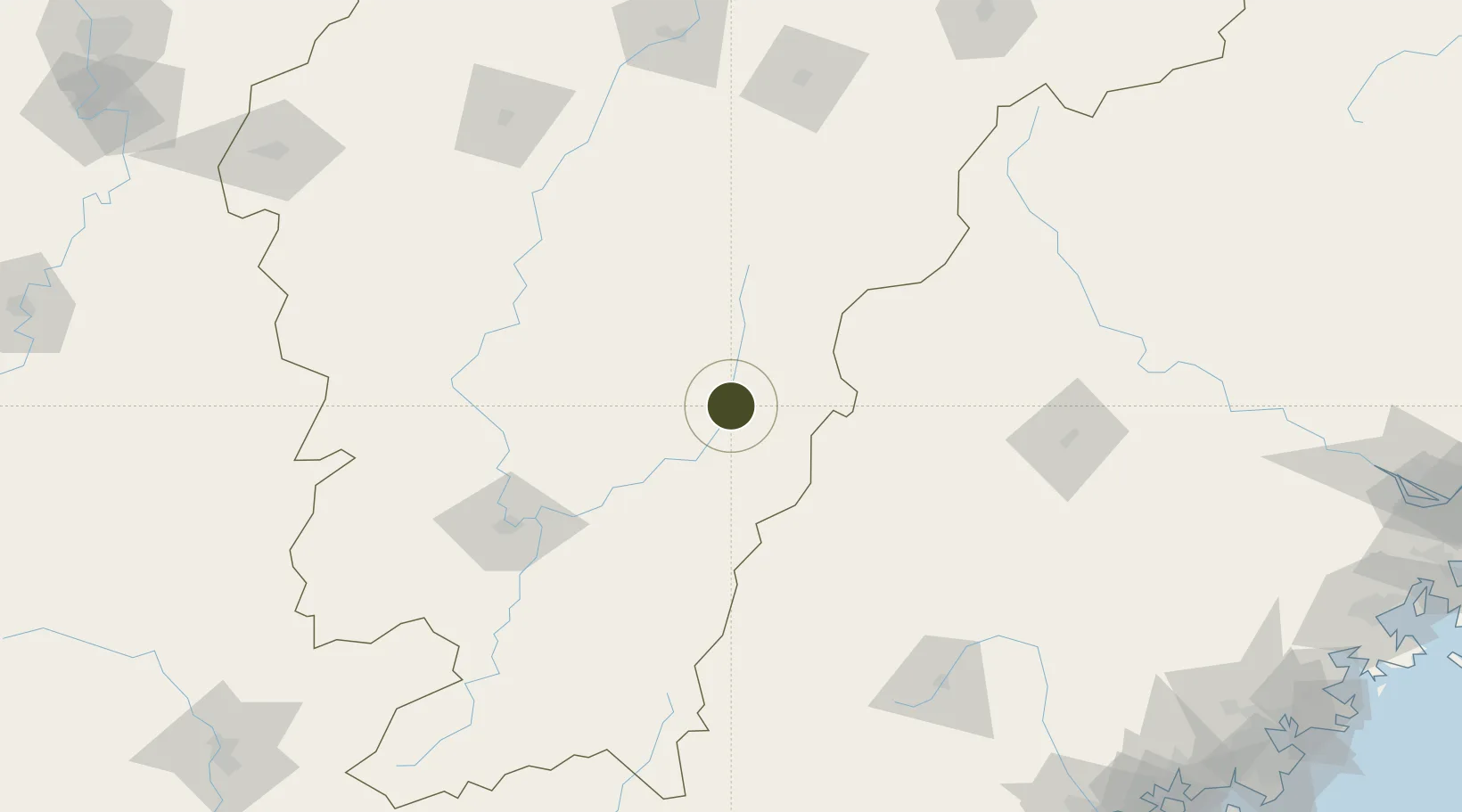
26.4300°, 116.0154°
8,000 ha
Zone area
289.1 km
Nearest port
111.2 km
Nearest airport

Gateway access

Nearest neighbours — logibook spatial index (haversine) over the source coordinates

Zone profile

Zone type
Diversified Zone
Open Zone Map
Region
Jiangxi
Open Zone Map
Status
Active
Open Zone Map
Management
Public
Open Zone Map
Operator
Ningdu Industrial Park Management Committee
Open Zone Map
Legal framework
It was founded in July 2001
Open Zone Map

Location

Location of ozm-981
Natural Earth 10m (public domain) · Jiangxi · ozm-981 · 26.43, 116.02GoogleOSMYandex

Nearby Logistics Neighbours

Ports
  1. 1Zhangzhou289 km
  2. 2Xiamen302 km
  3. 3Quanzhou311 km
  4. 4Xiuyu326 km
  5. 5Fuzhou330 km
Nearest neighbours — logibook spatial index (haversine) over the source coordinates
Airports
  1. 1Liancheng Guanzhishan Airport111 km
  2. 2Jinggangshan Airport136 km
  3. 3Ganzhou Huangjin Airport139 km
  4. 4Xincheng Air Base171 km
  5. 5Sanming Shaxian Airport181 km
Nearest neighbours — logibook spatial index (haversine) over the source coordinates
Cities
  1. 1Gaolan105 km
  2. 2Xili137 km
  3. 3Ganzhou143 km
  4. 4Sanming / Shanming Shi161 km
  5. 5Xinyu186 km
Nearest neighbours — logibook spatial index (haversine) over the source coordinates
Trade Zones
  1. 1Shicheng Industrial Park35 km
  2. 2Xingguo Industrial Zone64 km
  3. 3Xingguo Economic Development Zone64 km
  4. 4Yudu Industrial Park81 km
  5. 5Qingliu Economic Development Zone85 km
Nearest neighbours — logibook spatial index (haversine) over the source coordinates
DatabookThe Record of Consolidated Knowledge
China beyond logistics?
Browse databook

All Sources

Trade ZonesOpen Zone Map
CC BY
Portsthe NGA World Port Index
Public domain (US gov)
AirportsOurAirports
Public domain
LocationsUN/LOCODE
UN/LOCODE — free
← China trade zones