Diversified Zone · China

Pingliang Industrial Park Active
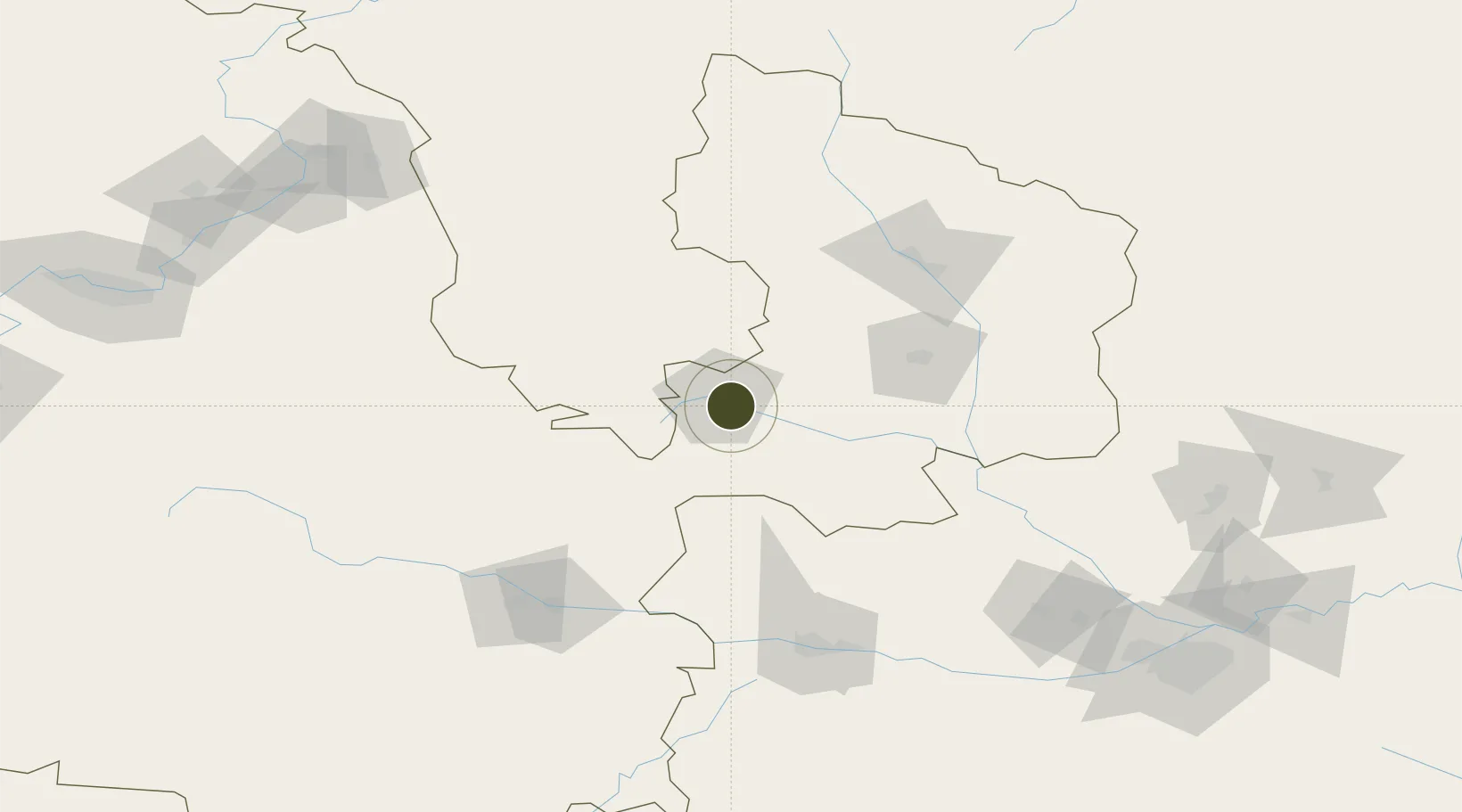
35.5177°, 106.7584°
6,636 ha
Zone area
890.0 km
Nearest port
79.2 km
Nearest airport

Gateway access

Nearest neighbours — logibook spatial index (haversine) over the source coordinates

Zone profile

Zone type
Diversified Zone
Open Zone Map
Region
Gansu
Open Zone Map
Status
Active
Open Zone Map
Management
Public
Open Zone Map
Operator
Working Committee of Wuwei Gulang Industrial Concentration Zone
Open Zone Map
Legal framework
Gansu Pingliang Industrial Park development planning
Open Zone Map

Location

Location of ozm-968
Natural Earth 10m (public domain) · Gansu · ozm-968 · 35.52, 106.76GoogleOSMYandex

Nearby Logistics Neighbours

Ports
  1. 1Hankow890 km
  2. 2Tianjin Xin Gang1052 km
  3. 3Lanshan1145 km
  4. 4Lianyungang1157 km
  5. 5Tangshan (Jingtang)1157 km
Nearest neighbours — logibook spatial index (haversine) over the source coordinates
Airports
  1. 1Guyuan Liupanshan Airport79 km
  2. 2Qingyang Xifeng Airport82 km
  3. 3Baoji Air Base127 km
  4. 4Tianshui Maijishan Airport134 km
  5. 5Wugong Air Base195 km
Nearest neighbours — logibook spatial index (haversine) over the source coordinates
Cities
  1. 1Baoji133 km
  2. 2Tianshui142 km
  3. 3Dingxi194 km
  4. 4Xingping209 km
  5. 5Xian242 km
Nearest neighbours — logibook spatial index (haversine) over the source coordinates
Trade Zones
  1. 1Chongxin County Industrial Concentration Zone29 km
  2. 2Jingchuan Industrial Concentration Zone61 km
  3. 3Liupanshan Industrial Park, Longde County62 km
  4. 4Hongde Charity Park75 km
  5. 5Xifeng Industrial Park85 km
Nearest neighbours — logibook spatial index (haversine) over the source coordinates
DatabookThe Record of Consolidated Knowledge
China beyond logistics?
Browse databook

All Sources

Trade ZonesOpen Zone Map
CC BY
Portsthe NGA World Port Index
Public domain (US gov)
AirportsOurAirports
Public domain
LocationsUN/LOCODE
UN/LOCODE — free
← China trade zones