Medium airport · China

Qingyang Xifeng AirportZLQY
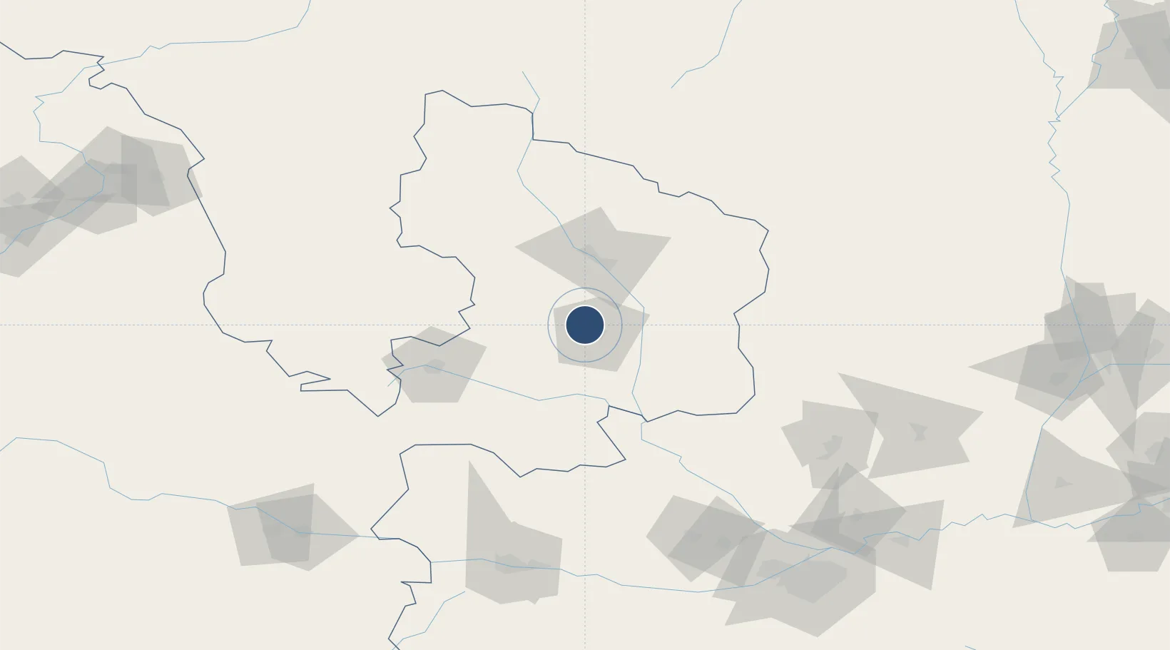
35.8026°, 107.5989°
8,530 ft
Longest runway
1
Runways

Runway & Layout

Qingyang Xifeng Airport runway & taxiway layout
Runway & taxiway layout — OpenStreetMap (ODbL) / OurAirports

Runways · 1

RunwayDimensions SurfaceTrue headingLit
14/32 8,530 × 157ft
OurAirports

Airport Specifications

IATA code
IQN
OurAirports
ICAO code
ZLQY
OurAirports
Airport class
Medium airport
OurAirports
Scheduled service
Yes
OurAirports
Served city
Qingyang (Xifeng)
OurAirports

Location

Location of ZLQY
Natural Earth 10m (public domain) · Gansu · ZLQY · 35.80, 107.60GoogleOSMYandex

Nearby Logistics Neighbours

Airports
  1. 1Guyuan Liupanshan Airport128 km
  2. 2Baoji Air Base142 km
  3. 3Wugong Air Base180 km
  4. 4Yan'an Nanniwan Airport184 km
  5. 5Xi'an Xianyang International Airport184 km
Nearest neighbours — logibook spatial index (haversine) over the source coordinates
Cities
  1. 1Baoji165 km
  2. 2Xingping187 km
  3. 3Xian209 km
  4. 4Tianshui219 km
  5. 5Weinan226 km
Nearest neighbours — logibook spatial index (haversine) over the source coordinates
Ports
  1. 1Hankow850 km
  2. 2Tianjin Xin Gang970 km
  3. 3Lanshan1068 km
  4. 4Tangshan (Jingtang)1075 km
  5. 5Lianyungang1082 km
Nearest neighbours — logibook spatial index (haversine) over the source coordinates
Trade Zones
  1. 1Xifeng Industrial Park9 km
  2. 2Industrial Concentration Zone of Heshui County36 km
  3. 3Changqingqiao Industrial Concentration Zone39 km
  4. 4Jingchuan Industrial Concentration Zone53 km
  5. 5Zhoujia Industrial Concentration Zone68 km
Nearest neighbours — logibook spatial index (haversine) over the source coordinates
DatabookThe Record of Consolidated Knowledge
China beyond logistics?
Browse databook

All Sources

AirportsOurAirports
Public domain
Portsthe NGA World Port Index
Public domain (US gov)
LocationsUN/LOCODE
UN/LOCODE — free
Trade Zonesthe World Bank SEZ database
CC BY 4.0
Trade ZonesOpen Zone Map
CC BY
InfrastructureOpenStreetMap
ODbL 1.0
← China airports