Diversified Zone · China

Xifeng Industrial Park Active
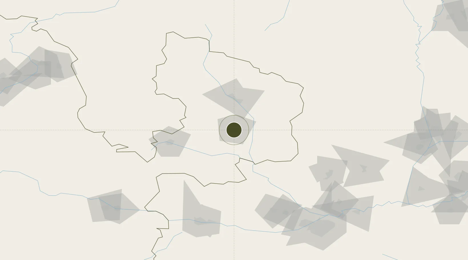
35.7370°, 107.6564°
398 ha
Zone area
841.6 km
Nearest port
9.0 km
Nearest airport

Gateway access

Nearest neighbours — logibook spatial index (haversine) over the source coordinates

Zone profile

Zone type
Diversified Zone
Open Zone Map
Region
Gansu
Open Zone Map
Status
Active
Open Zone Map
Management
Public
Open Zone Map
Operator
Xifeng Industrial Park Management Committee
Open Zone Map
Legal framework
Unavailable
Open Zone Map

Location

Location of ozm-454
Natural Earth 10m (public domain) · Gansu · ozm-454 · 35.74, 107.66GoogleOSMYandex

Nearby Logistics Neighbours

Ports
  1. 1Hankow842 km
  2. 2Tianjin Xin Gang968 km
  3. 3Lanshan1063 km
  4. 4Tangshan (Jingtang)1073 km
  5. 5Lianyungang1076 km
Nearest neighbours — logibook spatial index (haversine) over the source coordinates
Airports
  1. 1Qingyang Xifeng Airport9 km
  2. 2Guyuan Liupanshan Airport135 km
  3. 3Baoji Air Base135 km
  4. 4Wugong Air Base172 km
  5. 5Xi'an Xianyang International Airport175 km
Nearest neighbours — logibook spatial index (haversine) over the source coordinates
Cities
  1. 1Baoji159 km
  2. 2Xingping178 km
  3. 3Xian200 km
  4. 4Weinan217 km
  5. 5Tianshui219 km
Nearest neighbours — logibook spatial index (haversine) over the source coordinates
DatabookThe Record of Consolidated Knowledge
China beyond logistics?
Browse databook

All Sources

Trade ZonesOpen Zone Map
CC BY
Portsthe NGA World Port Index
Public domain (US gov)
AirportsOurAirports
Public domain
LocationsUN/LOCODE
UN/LOCODE — free
← China trade zones