Diversified Zone · China

Airport Industrial Cluster Active
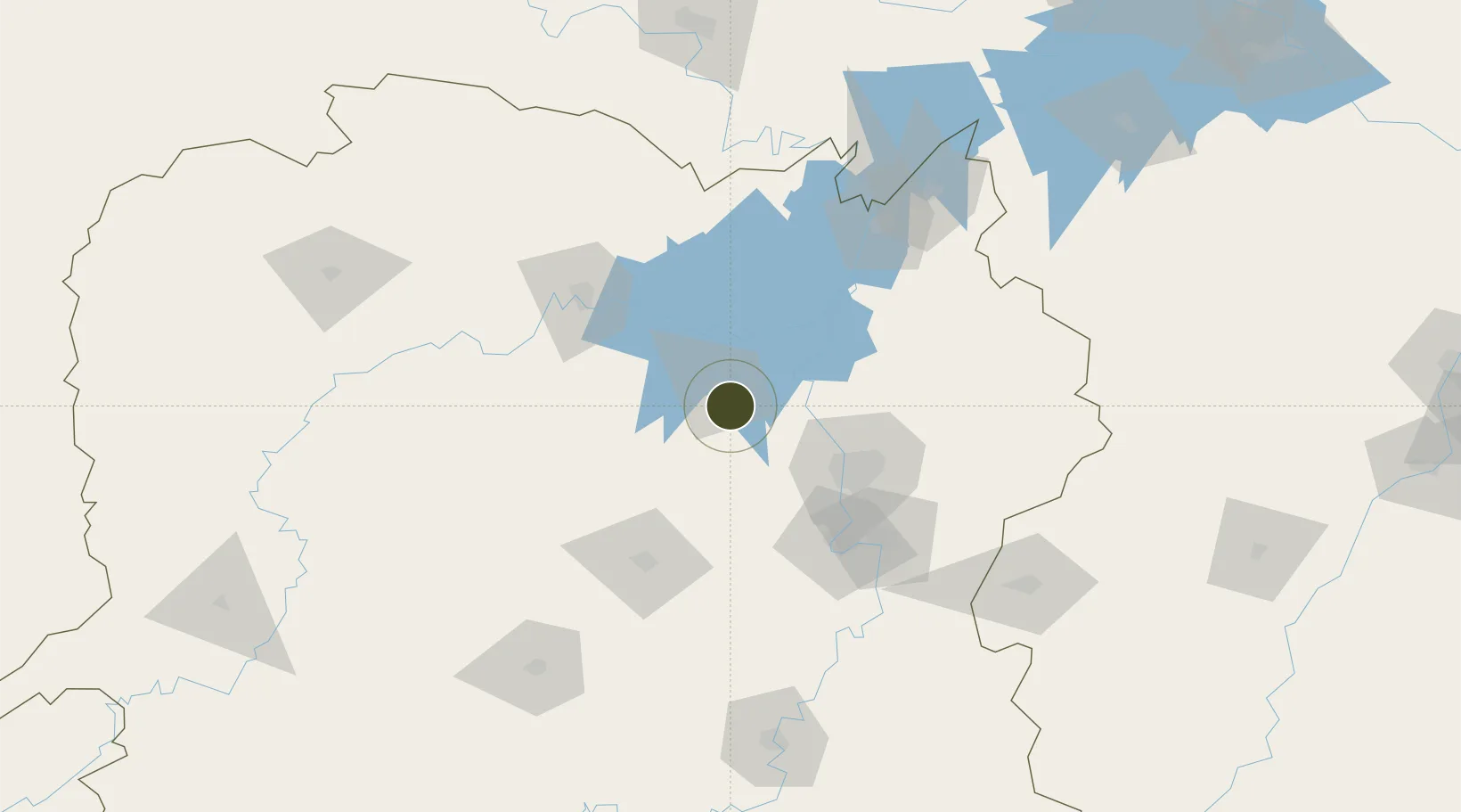
28.5073°, 112.4068°
5,460 ha
Zone area
293.7 km
Nearest port
61.0 km
Nearest airport

Gateway access

Nearest neighbours — logibook spatial index (haversine) over the source coordinates

Zone profile

Zone type
Diversified Zone
Open Zone Map
Region
Hunan
Open Zone Map
Status
Active
Open Zone Map
Management
Public
Open Zone Map
Operator
Working Committee of Airport Industrial Cluster
Open Zone Map
Legal framework
Hunan "12th Five-Year" Development Zone Development Plan
Open Zone Map

Location

Location of ozm-945
Natural Earth 10m (public domain) · Hunan · ozm-945 · 28.51, 112.41GoogleOSMYandex

Nearby Logistics Neighbours

Ports
  1. 1Hankow294 km
  2. 2Guangzhou605 km
  3. 3Huangpu612 km
  4. 4Huangpuxingang617 km
  5. 5Huizhou678 km
Nearest neighbours — logibook spatial index (haversine) over the source coordinates
Airports
  1. 1Ningxiang Airport61 km
  2. 2Changsha Datuopu Airport / Changsha Air Base73 km
  3. 3Changsha Huanghua International Airport87 km
  4. 4Changde Taohuayuan Airport88 km
  5. 5Yueyang Sanhe Airport124 km
Nearest neighbours — logibook spatial index (haversine) over the source coordinates
Cities
  1. 1Changsha66 km
  2. 2Shaoshan68 km
  3. 3Xiangtan88 km
  4. 4Changde88 km
  5. 5Zhuzhou103 km
Nearest neighbours — logibook spatial index (haversine) over the source coordinates
Trade Zones
  1. 1Taojiang Economic Development Zone26 km
  2. 2Yuanjiang High-tech Industrial Park35 km
  3. 3Ningxiang High-tech Industrial Park36 km
  4. 4Xiangyin High-tech Industrial Park50 km
  5. 5Hanshou High-tech Industrial Park53 km
Nearest neighbours — logibook spatial index (haversine) over the source coordinates
DatabookThe Record of Consolidated Knowledge
China beyond logistics?
Browse databook

All Sources

Trade ZonesOpen Zone Map
CC BY
Portsthe NGA World Port Index
Public domain (US gov)
AirportsOurAirports
Public domain
LocationsUN/LOCODE
UN/LOCODE — free
← China trade zones