Diversified Zone · China

Jurong Economic Development Zone Active
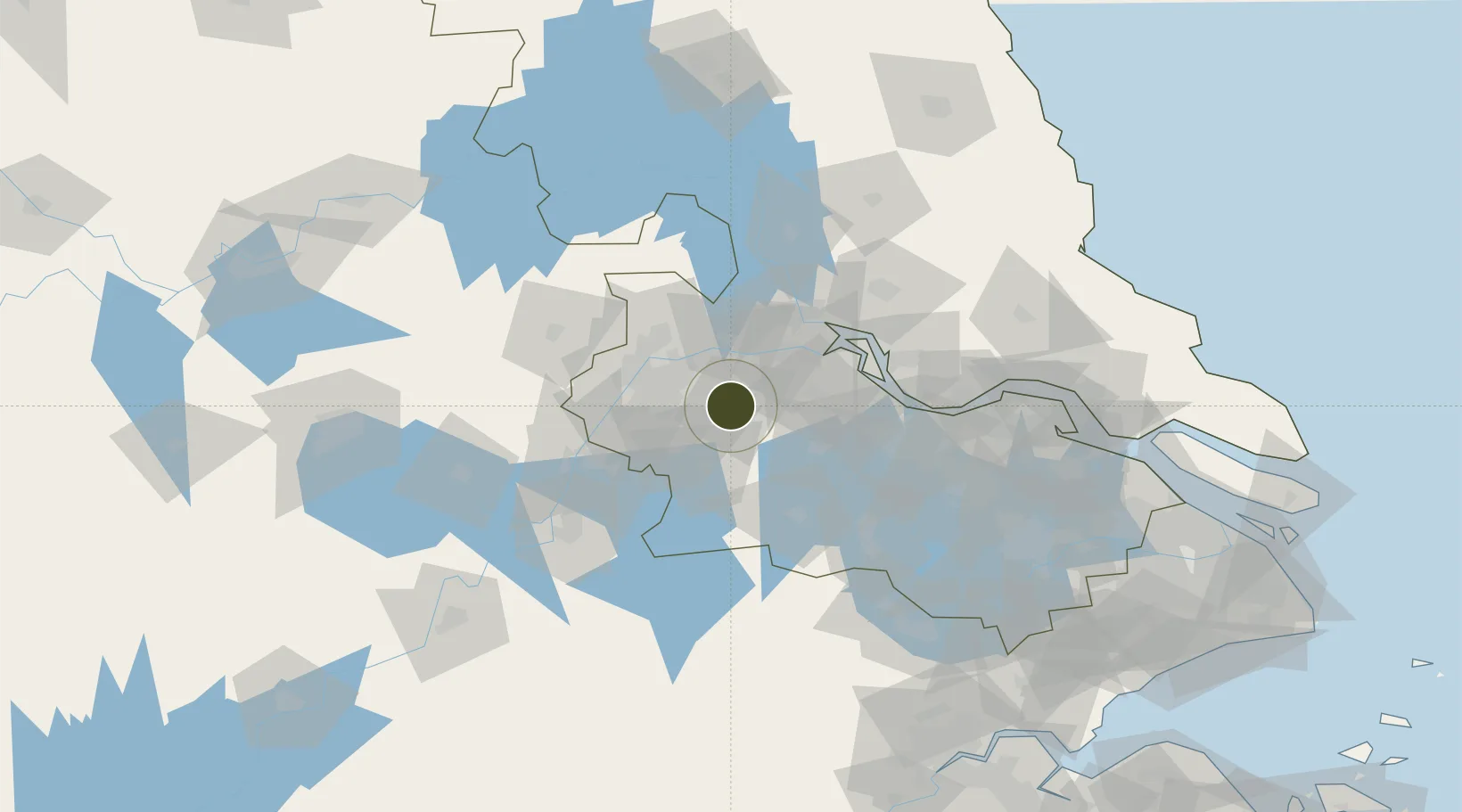
31.9544°, 119.1646°
2,870 ha
Zone area
38.6 km
Nearest port
37.3 km
Nearest airport

Gateway access

Nearest neighbours — logibook spatial index (haversine) over the source coordinates

Zone profile

Zone type
Diversified Zone
Open Zone Map
Region
Jiangsu
Open Zone Map
Status
Active
Open Zone Map
Management
Public
Open Zone Map
Operator
Working Committee of Jurong Economic Development Zone
Open Zone Map
Legal framework
Jurong City Master Plan (2017-2035) (Draft)
Open Zone Map

Location

Location of ozm-875
Natural Earth 10m (public domain) · Jiangsu · ozm-875 · 31.95, 119.16GoogleOSMYandex

Nearby Logistics Neighbours

Ports
  1. 1Zhenjiang39 km
  2. 2Nanjing42 km
  3. 3Yangzhou43 km
  4. 4Gaogang74 km
  5. 5Changzhou77 km
Nearest neighbours — logibook spatial index (haversine) over the source coordinates
Airports
  1. 1Nanjing Lukou International Airport37 km
  2. 2Changzhou Benniu International Airport58 km
  3. 3Yangzhou Taizhou Airport86 km
  4. 4Wuhu Xuanzhou Airport106 km
  5. 5Sunan Shuofang International Airport130 km
Nearest neighbours — logibook spatial index (haversine) over the source coordinates
Cities
  1. 1Jurong4 km
  2. 2Nanjing31 km
  3. 3Yizheng35 km
  4. 4Yangzhou47 km
  5. 5Zhenjiang51 km
Nearest neighbours — logibook spatial index (haversine) over the source coordinates
Trade Zones
  1. 1Dantu Economic Development Park27 km
  2. 2Dantu Economic Development Zone27 km
  3. 3Baixia High-tech Industrial Park29 km
  4. 4Nanjing Xuzhuang Software Park31 km
  5. 5Yangzhou Chemical Industrial Park34 km
Nearest neighbours — logibook spatial index (haversine) over the source coordinates
DatabookThe Record of Consolidated Knowledge
China beyond logistics?
Browse databook

All Sources

Trade ZonesOpen Zone Map
CC BY
Portsthe NGA World Port Index
Public domain (US gov)
AirportsOurAirports
Public domain
LocationsUN/LOCODE
UN/LOCODE — free
← China trade zones