Export Processing Zone · China

Feixi Taohua Industrial Park Active
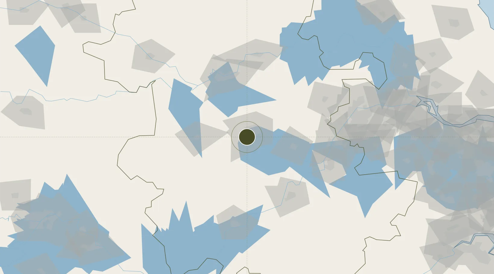
31.7709°, 117.2137°
810 ha
Zone area
149.1 km
Nearest port
32.9 km
Nearest airport

Gateway access

Nearest neighbours — logibook spatial index (haversine) over the source coordinates

Zone profile

Zone type
Export Processing Zone
Open Zone Map
Region
Anhui
Open Zone Map
Status
Active
Open Zone Map
Management
Public
Open Zone Map
Operator
Anhui Feixi Peach Blossom Industrial Park Management Committee
Open Zone Map
Legal framework
Founded in 1991, fexi county party committee and county government take advantage of the location advantage near Hefei city and seize the opportunity to take the lead in the establishment of provincial industrial development zone within the province. The
Open Zone Map

Location

Location of ozm-1227
Natural Earth 10m (public domain) · Anhui · ozm-1227 · 31.77, 117.21GoogleOSMYandex

Nearby Logistics Neighbours

Ports
  1. 1Nanjing149 km
  2. 2Zhenjiang215 km
  3. 3Yangzhou216 km
  4. 4Gaogang255 km
  5. 5Changzhou262 km
Nearest neighbours — logibook spatial index (haversine) over the source coordinates
Airports
  1. 1Hefei Xinqiao International Airport33 km
  2. 2Feidong Air Base45 km
  3. 3Bengbu Tenghu Airport120 km
  4. 4Chizhou Jiuhuashan Airport123 km
  5. 5Anqing Tianzhushan Airport / Anqing North Air Base133 km
Nearest neighbours — logibook spatial index (haversine) over the source coordinates
Cities
  1. 1Hefei13 km
  2. 2Chaohu63 km
  3. 3Lu'an69 km
  4. 4Quanjiao86 km
  5. 5Zhaogang102 km
Nearest neighbours — logibook spatial index (haversine) over the source coordinates
DatabookThe Record of Consolidated Knowledge
China beyond logistics?
Browse databook

All Sources

Trade ZonesOpen Zone Map
CC BY
Portsthe NGA World Port Index
Public domain (US gov)
AirportsOurAirports
Public domain
LocationsUN/LOCODE
UN/LOCODE — free
← China trade zones