Diversified Zone · China

Yixing Chinaware Industrial Park Active
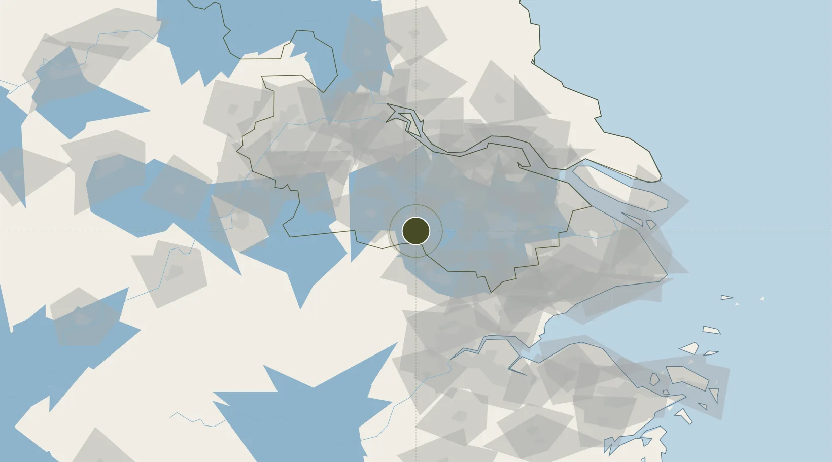
31.2826°, 119.8599°
1,200 ha
Zone area
77.0 km
Nearest port
51.5 km
Nearest airport

Gateway access

Nearest neighbours — logibook spatial index (haversine) over the source coordinates

Zone profile

Zone type
Diversified Zone
Open Zone Map
Region
Jiangsu
Open Zone Map
Status
Active
Open Zone Map
Management
Public
Open Zone Map
Operator
Management Committee of Yixing Chinaware Industrial Park
Open Zone Map
Legal framework
Regulations on Taxation Policies of National High-Tech Industrial Development Zones Approved by State Council of the People's Republic of China Mar 6, 1991; Administrative Measures for the Recognition of High-tech Enterprises; Ministry of Science and Tech
Open Zone Map

Location

Location of ozm-728
Natural Earth 10m (public domain) · Jiangsu · ozm-728 · 31.28, 119.86GoogleOSMYandex

Nearby Logistics Neighbours

Ports
  1. 1Changzhou77 km
  2. 2Jiangyin79 km
  3. 3Zhangjiangang92 km
  4. 4Gaogang111 km
  5. 5Zhenjiang111 km
Nearest neighbours — logibook spatial index (haversine) over the source coordinates
Airports
  1. 1Suzhou Guangfu Airport52 km
  2. 2Sunan Shuofang International Airport59 km
  3. 3Anji Tianzihu General Airport60 km
  4. 4Changzhou Benniu International Airport71 km
  5. 5Chenghu General Airport89 km
Nearest neighbours — logibook spatial index (haversine) over the source coordinates
Cities
  1. 1Taizhou34 km
  2. 2Huzhou48 km
  3. 3Changzhou57 km
  4. 4Anji74 km
  5. 5Wuxi76 km
Nearest neighbours — logibook spatial index (haversine) over the source coordinates
DatabookThe Record of Consolidated Knowledge
China beyond logistics?
Browse databook

All Sources

Trade ZonesOpen Zone Map
CC BY
Portsthe NGA World Port Index
Public domain (US gov)
AirportsOurAirports
Public domain
LocationsUN/LOCODE
UN/LOCODE — free
← China trade zones