Transport Functions
Port
Rail
Road
Hub Profile
Place type
Provincial seat
Region
Zhejiang
Population
1,015,937
Time zone
Asia/Shanghai
Elevation
6 m
Logistics facilities
4
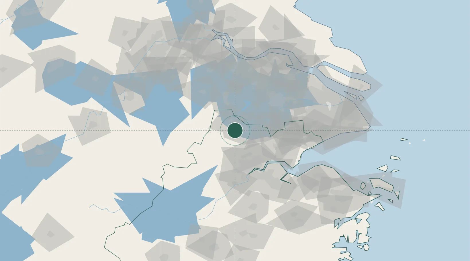
Location
Nearby Logistics Neighbours
Ports
- 1Zhapu112 km
- 2Jiangyin121 km
- 3Changzhou123 km
- 4Zhangjiangang130 km
- 5Changshu138 km
Airports
DatabookThe Record of Consolidated Knowledge
China beyond logistics?