Diversified Zone · China

Changxing Economic and Technological Development Zone Active
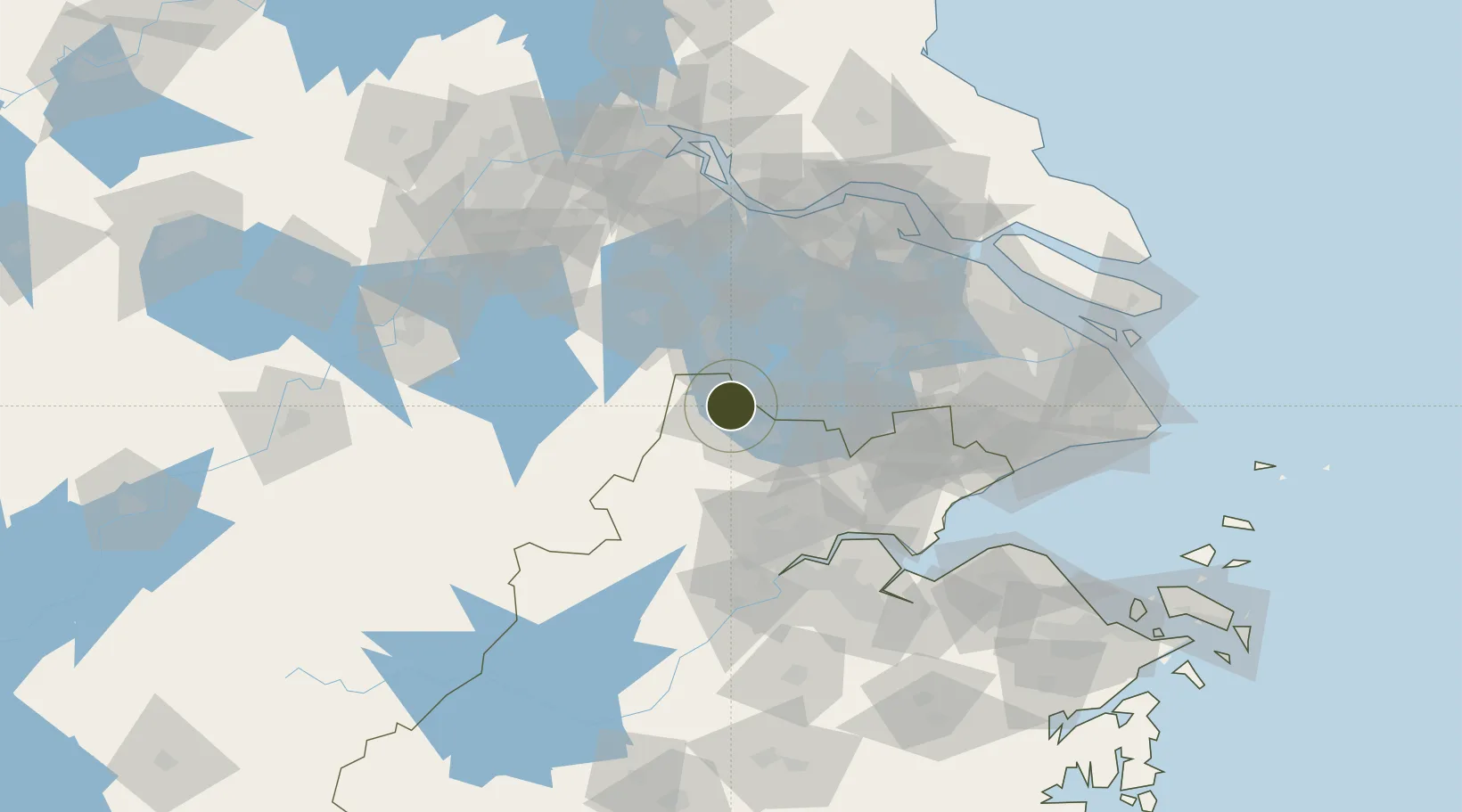
31.0096°, 119.9191°
2,000 ha
Zone area
105.2 km
Nearest port
39.2 km
Nearest airport

Gateway access

Nearest neighbours — logibook spatial index (haversine) over the source coordinates

Zone profile

Zone type
Diversified Zone
Open Zone Map
Region
Zhejiang
Open Zone Map
Status
Active
Open Zone Map
Management
Public
Open Zone Map
Operator
Changxing Economic and Technological Development Zone Management Committee
Open Zone Map
Legal framework
Zhejiang Provincial Committee of the Communist Party of China, Zhejiang Provincial People's Government: Decision on Accelerating the Construction of a Modern Industrial System (July 27, 2020), Several Opinions of the General Office of the State Council on
Open Zone Map

Location

Location of ozm-5252
Natural Earth 10m (public domain) · Zhejiang · ozm-5252 · 31.01, 119.92GoogleOSMYandex

Nearby Logistics Neighbours

Ports
  1. 1Jiangyin105 km
  2. 2Changzhou107 km
  3. 3Zhangjiangang116 km
  4. 4Zhapu121 km
  5. 5Changshu129 km
Nearest neighbours — logibook spatial index (haversine) over the source coordinates
Airports
  1. 1Anji Tianzihu General Airport39 km
  2. 2Suzhou Guangfu Airport54 km
  3. 3Sunan Shuofang International Airport73 km
  4. 4Jiaxing Nanhu Airport79 km
  5. 5Hangzhou Jianqiao Airport81 km
Nearest neighbours — logibook spatial index (haversine) over the source coordinates
Cities
  1. 1Huzhou17 km
  2. 2Anji47 km
  3. 3Taizhou53 km
  4. 4Tongxiang75 km
  5. 5Suzhou79 km
Nearest neighbours — logibook spatial index (haversine) over the source coordinates
DatabookThe Record of Consolidated Knowledge
China beyond logistics?
Browse databook

All Sources

Trade ZonesOpen Zone Map
CC BY
Portsthe NGA World Port Index
Public domain (US gov)
AirportsOurAirports
Public domain
LocationsUN/LOCODE
UN/LOCODE — free
← China trade zones