Export Processing Zone · China

Xuanzhou Economic Development Zone Active

30.8905°, 119.4706°
3,385 ha
Zone area
129.2 km
Nearest port
15.4 km
Nearest airport

Gateway access

Nearest neighbours — logibook spatial index (haversine) over the source coordinates

Zone profile

Zone type
Export Processing Zone
Open Zone Map
Region
Anhui
Open Zone Map
Status
Active
Open Zone Map
Management
Public
Open Zone Map
Operator
Working Committee of Xuanzhou Economic Development Zone
Open Zone Map
Legal framework
According to the General Plan of Xuancheng City (2007-2020), and in accordance with the spirit of document No. 40 [2013] issued by the political secretary of Anhui Province, the Administrative Committee of Development Zone entrusted Anhui Provincial Insti
Open Zone Map

Location

Location of ozm-1401
Natural Earth 10m (public domain) · Anhui · ozm-1401 · 30.89, 119.47GoogleOSMYandex

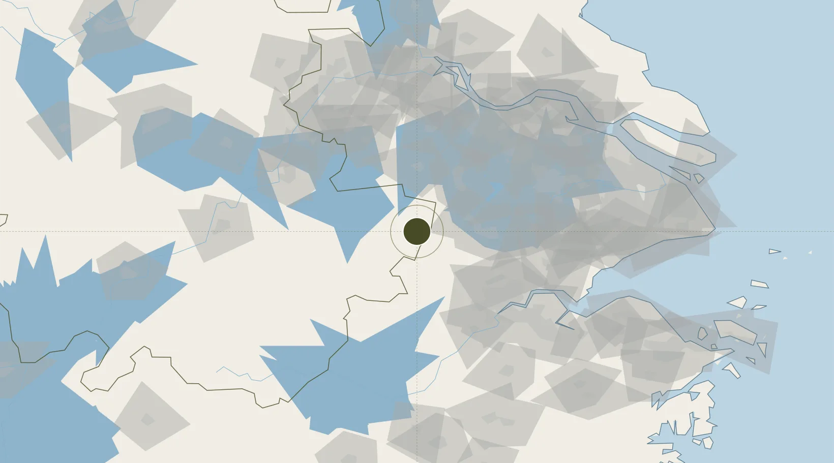
Nearby Logistics Neighbours

Ports
  1. 1Changzhou129 km
  2. 2Jiangyin135 km
  3. 3Zhenjiang148 km
  4. 4Zhangjiangang149 km
  5. 5Nanjing149 km
Nearest neighbours — logibook spatial index (haversine) over the source coordinates
Airports
  1. 1Anji Tianzihu General Airport15 km
  2. 2Wuhu Xuanzhou Airport80 km
  3. 3Hangzhou Jianqiao Airport96 km
  4. 4Suzhou Guangfu Airport98 km
  5. 5Nanjing Lukou International Airport110 km
Nearest neighbours — logibook spatial index (haversine) over the source coordinates
Cities
  1. 1Anji34 km
  2. 2Huzhou47 km
  3. 3Xuancheng88 km
  4. 4Taizhou90 km
  5. 5Hangzhou91 km
Nearest neighbours — logibook spatial index (haversine) over the source coordinates
DatabookThe Record of Consolidated Knowledge
China beyond logistics?
Browse databook

All Sources

Trade ZonesOpen Zone Map
CC BY
Portsthe NGA World Port Index
Public domain (US gov)
AirportsOurAirports
Public domain
LocationsUN/LOCODE
UN/LOCODE — free
← China trade zones