Transport Functions
Port
Road
Hub Profile
Place type
District seat
Region
Zhejiang
Time zone
Asia/Shanghai
Elevation
8 m
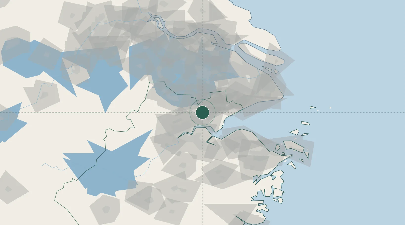
Location
Nearby Logistics Neighbours
Airports
Trade Zones
- 1Jiaixing Xiuzhou Hi-tech Industrial Development Zone12 km
- 2Jiaxing Free Trade Zone19 km
- 3Jiaxing Economic and Technological Development Zone (Jiaxing International Business District)19 km
- 4Hangzhou Yuhang Economic and Technological Development Zone35 km
- 5Pinghu Economic and Technological Development Zone42 km
DatabookThe Record of Consolidated Knowledge
China beyond logistics?