Diversified Zone · China

Ningbo Daxie Development Zone Active
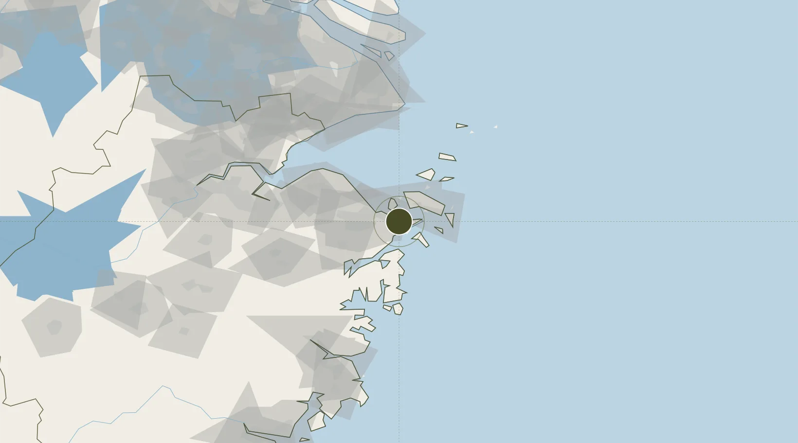
29.8827°, 121.9231°
3,600 ha
Zone area
21.5 km
Nearest port
33.9 km
Nearest airport

Gateway access

Nearest neighbours — logibook spatial index (haversine) over the source coordinates

Zone profile

Zone type
Diversified Zone
Open Zone Map
Region
Zhejiang
Open Zone Map
Status
Active
Open Zone Map
Management
Public
Open Zone Map
Operator
Ningbo Daxie Development Zone Management Committee
Open Zone Map
Legal framework
Zhejiang Provincial Committee of the Communist Party of China, Zhejiang Provincial People's Government: Decision on Accelerating the Construction of a Modern Industrial System (July 27, 2020), Several Opinions of the General Office of the State Council on
Open Zone Map

Location

Location of ozm-5245
Natural Earth 10m (public domain) · Zhejiang · ozm-5245 · 29.88, 121.92GoogleOSMYandex

Nearby Logistics Neighbours

Ports
  1. 1Zhoushan22 km
  2. 2Zhen Hai23 km
  3. 3Ningbo36 km
  4. 4Zhapu112 km
  5. 5Haimen141 km
Nearest neighbours — logibook spatial index (haversine) over the source coordinates
Airports
  1. 1Ningbo Zhuangqiao Air Base34 km
  2. 2Zhoushan Putuoshan International Airport43 km
  3. 3Ningbo Lishe International Airport45 km
  4. 4Daishan Air Base50 km
  5. 5Shanghai Pudong International Airport141 km
Nearest neighbours — logibook spatial index (haversine) over the source coordinates
Cities
  1. 1Daxie Pt3 km
  2. 2Beilun8 km
  3. 3Ningbo10 km
  4. 4Majistan/Zhoushan23 km
  5. 5Ningbo Pt25 km
Nearest neighbours — logibook spatial index (haversine) over the source coordinates
DatabookThe Record of Consolidated Knowledge
China beyond logistics?
Browse databook

All Sources

Trade ZonesOpen Zone Map
CC BY
Portsthe NGA World Port Index
Public domain (US gov)
AirportsOurAirports
Public domain
LocationsUN/LOCODE
UN/LOCODE — free
← China trade zones