UN/LOCODE hub · China
CNNBO
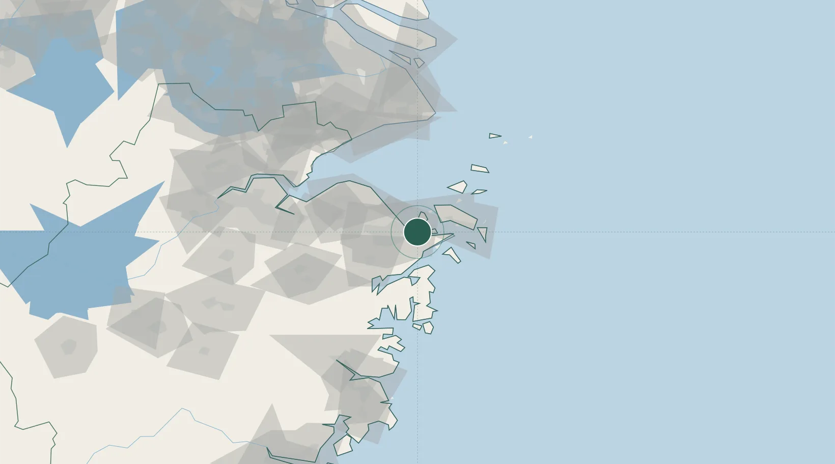
Ningbo
29.9172°, 121.8241°
3,731,203
Population
3
Transport functions
10
Container terminals
Transport Functions
Port
Rail
Airport
Hub Profile
Place type
Provincial seat
Region
Zhejiang
Population
3,731,203
Time zone
Asia/Shanghai
Elevation
15 m
Logistics facilities
39
Container terminals
10
Location
Nearby Logistics Neighbours
Cities
- 1Beilun3 km
- 2Daxie Pt13 km
- 3Ningbo Pt15 km
- 4Majistan/Zhoushan29 km
- 5Zhoushan41 km
Airports
DatabookThe Record of Consolidated Knowledge
China beyond logistics?