Medium airport · China

Daishan Air BaseCN-0146

30.2876°, 122.1444°
7 ft
Elevation

Runway & Layout

Daishan Air Base runway & taxiway layout
Runway & taxiway layout — OpenStreetMap (ODbL) / OurAirports

Airport Specifications

Airport class
Medium airport
OurAirports
Scheduled service
No
OurAirports
Served city
Zhoushan
OurAirports

Location

Location of CN-0146
Natural Earth 10m (public domain) · Zhejiang · CN-0146 · 30.29, 122.14GoogleOSMYandex

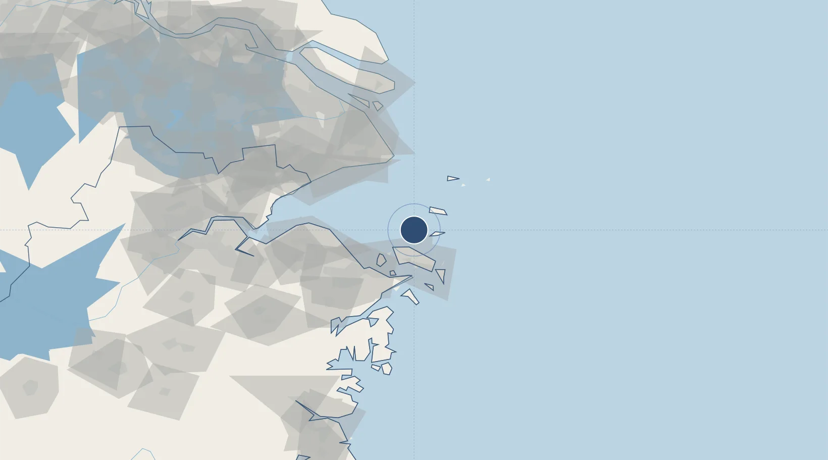
Nearby Logistics Neighbours

Airports
  1. 1Zhoushan Putuoshan International Airport45 km
  2. 2Ningbo Zhuangqiao Air Base68 km
  3. 3Ningbo Lishe International Airport83 km
  4. 4Shanghai Pudong International Airport101 km
  5. 5Shanghai Hongqiao International Airport128 km
Nearest neighbours — logibook spatial index (haversine) over the source coordinates
Cities
  1. 1Zhoushan23 km
  2. 2Majistan/Zhoushan30 km
  3. 3Shanghai Pt39 km
  4. 4Daxie Pt49 km
  5. 5Maji Shan49 km
Nearest neighbours — logibook spatial index (haversine) over the source coordinates
Ports
  1. 1Zhoushan32 km
  2. 2Zhen Hai57 km
  3. 3Ningbo73 km
  4. 4Zhapu107 km
  5. 5Shanghai120 km
Nearest neighbours — logibook spatial index (haversine) over the source coordinates
Trade Zones
  1. 1Zhejiang Zhoushan Islands New Area31 km
  2. 2Ningbo Daxie Development Zone50 km
  3. 3Zhoushan Port Free Trade Zone51 km
  4. 4Ningbo Meishan Bonded Area51 km
  5. 5Ningbo Petrochemical Economic and Technological Development Zone52 km
Nearest neighbours — logibook spatial index (haversine) over the source coordinates
DatabookThe Record of Consolidated Knowledge
China beyond logistics?
Browse databook

All Sources

AirportsOurAirports
Public domain
Portsthe NGA World Port Index
Public domain (US gov)
LocationsUN/LOCODE
UN/LOCODE — free
Trade Zonesthe World Bank SEZ database
CC BY 4.0
Trade ZonesOpen Zone Map
CC BY
InfrastructureOpenStreetMap
ODbL 1.0
← China airports