Large airport · China

Zhoushan Putuoshan International AirportZSZS
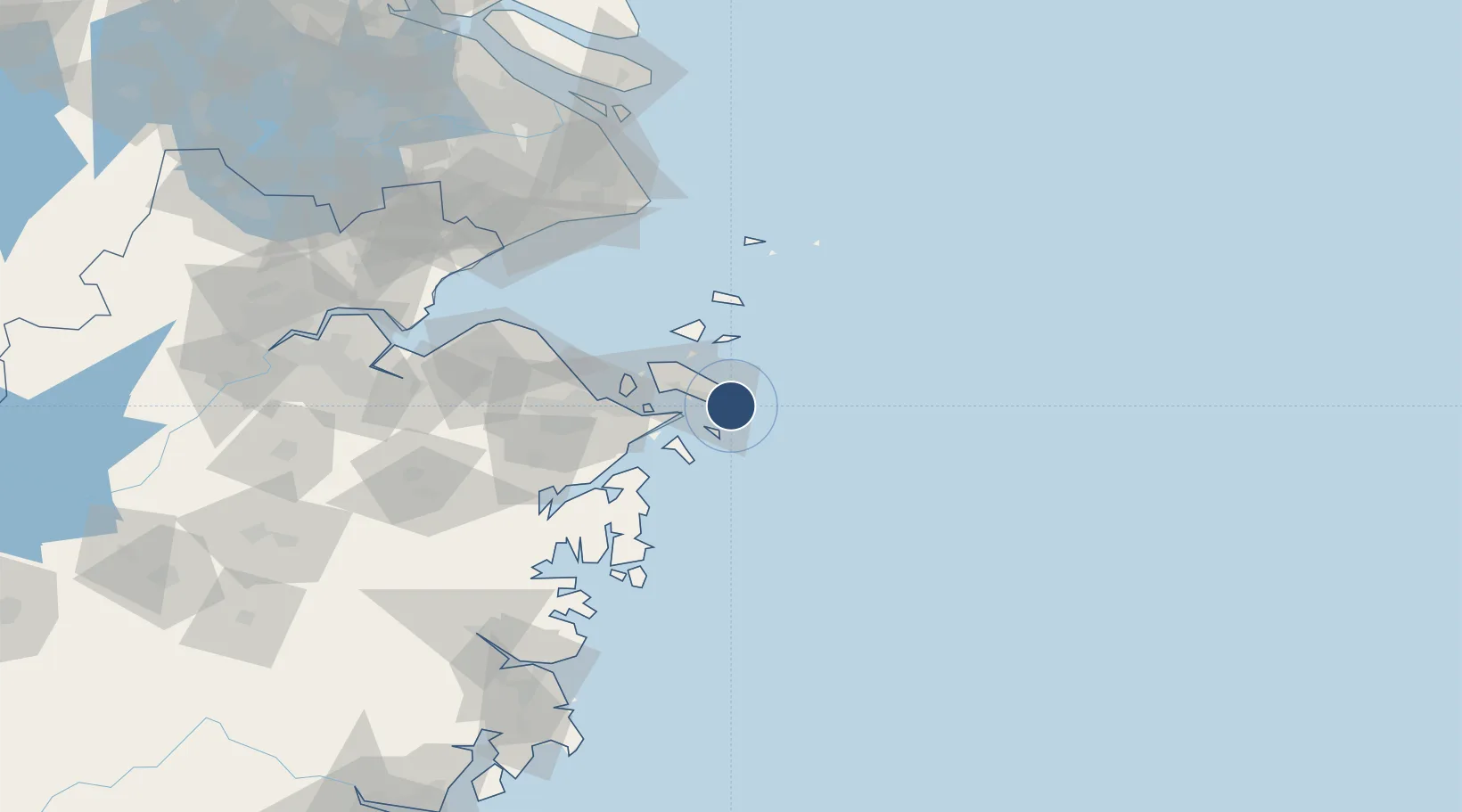
29.9339°, 122.3623°
8,202 ft
Longest runway
1
Runways
3 ft
Elevation

Runway & Layout

Zhoushan Putuoshan International Airport runway & taxiway layout
Runway & taxiway layout — OpenStreetMap (ODbL) / OurAirports

Runways · 1

RunwayDimensions SurfaceTrue headingLit
18/36 8,202 × 148ft Concrete
OurAirports

Airport Specifications

IATA code
HSN
OurAirports
ICAO code
ZSZS
OurAirports
Airport class
Large airport
OurAirports
Scheduled service
Yes
OurAirports
Runway surface
Concrete
OurAirports
Served city
Zhoushan
OurAirports

Location

Location of ZSZS
Natural Earth 10m (public domain) · Zhejiang · ZSZS · 29.93, 122.36GoogleOSMYandex

Nearby Logistics Neighbours

Airports
  1. 1Daishan Air Base45 km
  2. 2Ningbo Zhuangqiao Air Base76 km
  3. 3Ningbo Lishe International Airport88 km
  4. 4Shanghai Pudong International Airport145 km
  5. 5Shanghai Hongqiao International Airport172 km
Nearest neighbours — logibook spatial index (haversine) over the source coordinates
Cities
  1. 1Zhoushan23 km
  2. 2Majistan/Zhoushan27 km
  3. 3Daxie Pt40 km
  4. 4Beilun49 km
  5. 5Ningbo52 km
Nearest neighbours — logibook spatial index (haversine) over the source coordinates
Ports
  1. 1Zhoushan26 km
  2. 2Zhen Hai64 km
  3. 3Ningbo79 km
  4. 4Zhapu143 km
  5. 5Haimen165 km
Nearest neighbours — logibook spatial index (haversine) over the source coordinates
Trade Zones
  1. 1Zhejiang Zhoushan Islands New Area30 km
  2. 2Ningbo Daxie Development Zone43 km
  3. 3Zhoushan Port Free Trade Zone44 km
  4. 4Ningbo Meishan Bonded Area44 km
  5. 5Ningbo Petrochemical Economic and Technological Development Zone50 km
Nearest neighbours — logibook spatial index (haversine) over the source coordinates
DatabookThe Record of Consolidated Knowledge
China beyond logistics?
Browse databook

All Sources

AirportsOurAirports
Public domain
Portsthe NGA World Port Index
Public domain (US gov)
LocationsUN/LOCODE
UN/LOCODE — free
Trade Zonesthe World Bank SEZ database
CC BY 4.0
Trade ZonesOpen Zone Map
CC BY
InfrastructureOpenStreetMap
ODbL 1.0
← China airports