UN/LOCODE hub · China
CNDAX

Daxie Pt

29.8833°, 121.9500°
1
Transport functions

Transport Functions

Port
UN/LOCODE

Hub Profile

Region
ZJ
GeoNames

Location

Location of CNDAX
Natural Earth 10m (public domain) · ZJ · CNDAX · 29.88, 121.95GoogleOSMYandex

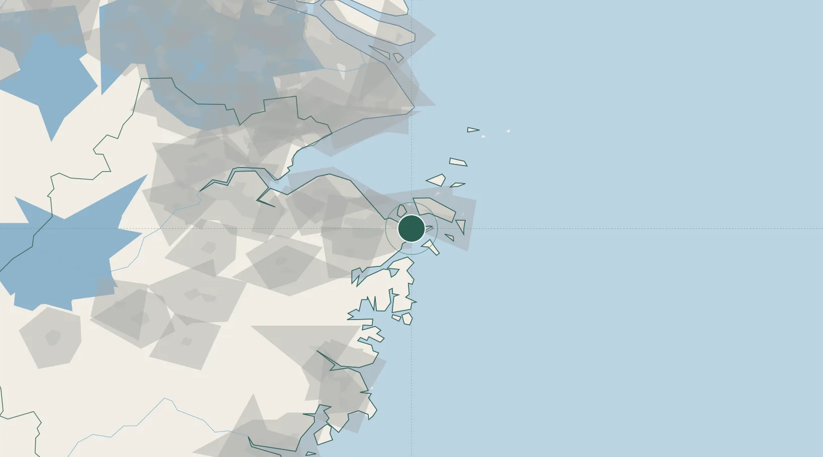
Nearby Logistics Neighbours

Cities
  1. 1Beilun10 km
  2. 2Ningbo13 km
  3. 3Majistan/Zhoushan21 km
  4. 4Ningbo Pt28 km
  5. 5Zhoushan33 km
Nearest neighbours — logibook spatial index (haversine) over the source coordinates
Ports
  1. 1Zhoushan19 km
  2. 2Zhen Hai25 km
  3. 3Ningbo39 km
  4. 4Zhapu114 km
  5. 5Haimen142 km
Nearest neighbours — logibook spatial index (haversine) over the source coordinates
Airports
  1. 1Ningbo Zhuangqiao Air Base37 km
  2. 2Zhoushan Putuoshan International Airport40 km
  3. 3Ningbo Lishe International Airport48 km
  4. 4Daishan Air Base49 km
  5. 5Shanghai Pudong International Airport141 km
Nearest neighbours — logibook spatial index (haversine) over the source coordinates
Trade Zones
  1. 1Ningbo Daxie Development Zone3 km
  2. 2Zhoushan Port Free Trade Zone4 km
  3. 3Ningbo Meishan Bonded Area4 km
  4. 4Ningbo Petrochemical Economic and Technological Development Zone11 km
  5. 5Zhejiang Zhoushan Islands New Area19 km
Nearest neighbours — logibook spatial index (haversine) over the source coordinates
DatabookThe Record of Consolidated Knowledge
China beyond logistics?
Browse databook

All Sources

LocationsUN/LOCODE
UN/LOCODE — free
Portsthe NGA World Port Index
Public domain (US gov)
AirportsOurAirports
Public domain
Trade Zonesthe World Bank SEZ database
CC BY 4.0
Trade ZonesOpen Zone Map
CC BY
← China locations