Large airport · China
Shanghai Pudong International AirportZSPD
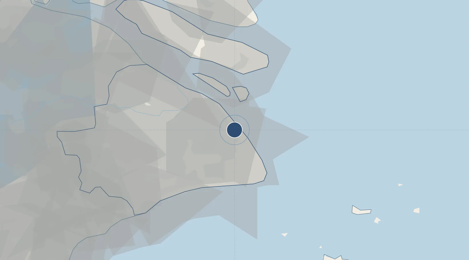
31.1434°, 121.8050°
13,123 ft
Longest runway
5
Runways
13 ft
Elevation
Runway & Layout

Radio Frequencies
ATIS
127.85 MHz
TWR
118.4 MHz
TWR02 EAST
TWR
118.8 MHz
TWR01 17L/35R
TWR
124.35 MHz
TWR03 RWY 17R/35L
GND
121.65 MHz
GND WEST
GND
121.8 MHz
GND EAST
CLD
121.95 MHz
DEL
APP
119.75 MHz
SHANGHAI APP SCTR 2
APP
120.3 MHz
SHANGHAI APP SCTR 1
APP
121.3 MHz
SHAINGHAI APP SCTR 3
APP
123.8 MHz
SHANGHAI APP SCRT 4
APP
126.3 MHz
Navaids
HSH VOR-DME Hengsha 114.40 MHz
NHW VOR-DME Nanhui 114.60 MHz
PDL VOR-DME Liuzao 109.40 MHz
PUD VOR-DME Pudong 116.90 MHz
SHY VOR-DME Shuyuan 113.60 MHz
Runways · 5
| Runway | Dimensions | Surface | True heading | Lit |
|---|---|---|---|---|
| 17L/35R | 13,123 × 197ft | Concrete | 162° | ✓ |
| 16L/34R | 12,467 × 197ft | Concrete | 162° | ✓ |
| 16R/34L | 12,467 × 197ft | Concrete | 162° | ✓ |
| 15/33 | 11,155 × 197ft | Concrete | — | ✓ |
| 17R/35L | 11,154 × 197ft | Concrete | 162° | ✓ |
Airport Specifications
IATA code
PVG
ICAO code
ZSPD
Airport class
Large airport
Scheduled service
Yes
Runway surface
Concrete
Served city
Shanghai (Pudong)
Location
Nearby Logistics Neighbours
Airports
- 1Shanghai Dachang Air Base43 km
- 2Shanghai Hongqiao International Airport45 km
- 3Chenghu General Airport97 km
- 4Daishan Air Base101 km
- 5Jiaxing Nanhu Airport120 km
Cities
- 1Shanghai11 km
- 2Nanhui12 km
- 3Jinqiao23 km
- 4Pudong/Shanghai31 km
- 5Fengxian42 km
DatabookThe Record of Consolidated Knowledge
China beyond logistics?