UN/LOCODE hub · China
CNBEI

Beilun

29.9172°, 121.8557°
2
Transport functions

Transport Functions

Port
Road
UN/LOCODE

Hub Profile

Place type
District seat
GeoNames
Region
Zhejiang
GeoNames
Time zone
Asia/Shanghai
GeoNames
Elevation
4 m
GeoNames
Logistics facilities
1
UN/LOCODE

Location

Location of CNBEI
Natural Earth 10m (public domain) · Zhejiang · CNBEI · 29.92, 121.86GoogleOSMYandex

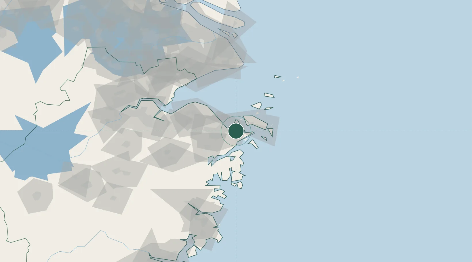
Nearby Logistics Neighbours

Cities
  1. 1Ningbo3 km
  2. 2Daxie Pt10 km
  3. 3Ningbo Pt18 km
  4. 4Majistan/Zhoushan26 km
  5. 5Zhoushan38 km
Nearest neighbours — logibook spatial index (haversine) over the source coordinates
Ports
  1. 1Zhen Hai15 km
  2. 2Zhoushan25 km
  3. 3Ningbo30 km
  4. 4Zhapu105 km
  5. 5Haimen143 km
Nearest neighbours — logibook spatial index (haversine) over the source coordinates
Airports
  1. 1Ningbo Zhuangqiao Air Base27 km
  2. 2Ningbo Lishe International Airport39 km
  3. 3Zhoushan Putuoshan International Airport49 km
  4. 4Daishan Air Base50 km
  5. 5Shanghai Pudong International Airport136 km
Nearest neighbours — logibook spatial index (haversine) over the source coordinates
Trade Zones
  1. 1Ningbo Petrochemical Economic and Technological Development Zone2 km
  2. 2Zhoushan Port Free Trade Zone7 km
  3. 3Ningbo Meishan Bonded Area7 km
  4. 4Ningbo Daxie Development Zone8 km
  5. 5Zhejiang Zhoushan Islands New Area24 km
Nearest neighbours — logibook spatial index (haversine) over the source coordinates
DatabookThe Record of Consolidated Knowledge
China beyond logistics?
Browse databook

All Sources

LocationsUN/LOCODE
UN/LOCODE — free
Portsthe NGA World Port Index
Public domain (US gov)
AirportsOurAirports
Public domain
Trade Zonesthe World Bank SEZ database
CC BY 4.0
Trade ZonesOpen Zone Map
CC BY
← China locations