Diversified Zone · China

Rudong Economic Development Zone Active
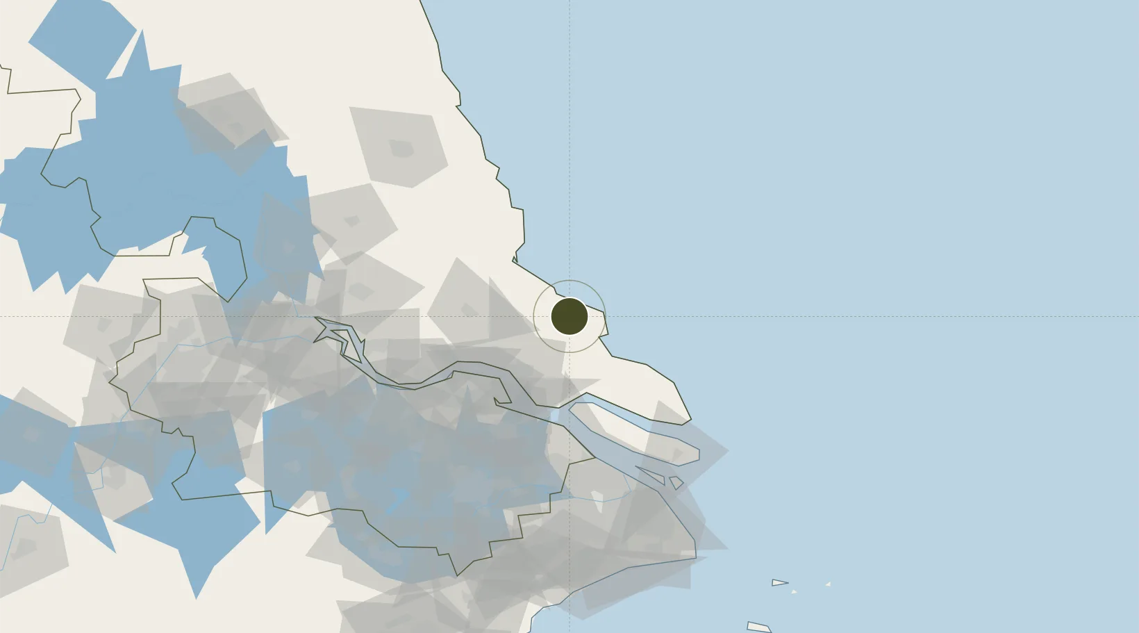
32.3589°, 121.1812°
464 ha
Zone area
53.7 km
Nearest port
36.9 km
Nearest airport

Gateway access

Nearest neighbours — logibook spatial index (haversine) over the source coordinates

Zone profile

Zone type
Diversified Zone
Open Zone Map
Region
Jiangsu
Open Zone Map
Status
Active
Open Zone Map
Management
Public
Open Zone Map
Operator
Management Commitiee
Open Zone Map
Legal framework
Regulations on Taxation Policies of National High-Tech Industrial Development Zones Approved by State Council of the People's Republic of China Mar 6, 1991; Administrative Measures for the Recognition of High-tech Enterprises; Ministry of Science and Tech
Open Zone Map

Location

Location of ozm-517
Natural Earth 10m (public domain) · Jiangsu · ozm-517 · 32.36, 121.18GoogleOSMYandex

Nearby Logistics Neighbours

Ports
  1. 1Nantong54 km
  2. 2Changshu69 km
  3. 3Taicang79 km
  4. 4Zhangjiangang86 km
  5. 5Jiangyin102 km
Nearest neighbours — logibook spatial index (haversine) over the source coordinates
Airports
  1. 1Nantong Xingdong International Airport37 km
  2. 2Rugao Air Base65 km
  3. 3Shanghai Dachang Air Base117 km
  4. 4Sunan Shuofang International Airport119 km
  5. 5Shanghai Hongqiao International Airport130 km
Nearest neighbours — logibook spatial index (haversine) over the source coordinates
Cities
  1. 1Yangkou Pt30 km
  2. 2Nantong52 km
  3. 3Lusi54 km
  4. 4Rugao67 km
  5. 5Qidong76 km
Nearest neighbours — logibook spatial index (haversine) over the source coordinates
DatabookThe Record of Consolidated Knowledge
China beyond logistics?
Browse databook

All Sources

Trade ZonesOpen Zone Map
CC BY
Portsthe NGA World Port Index
Public domain (US gov)
AirportsOurAirports
Public domain
LocationsUN/LOCODE
UN/LOCODE — free
← China trade zones