Diversified Zone · China

Lvsi Ocean Economic Development Zone Active
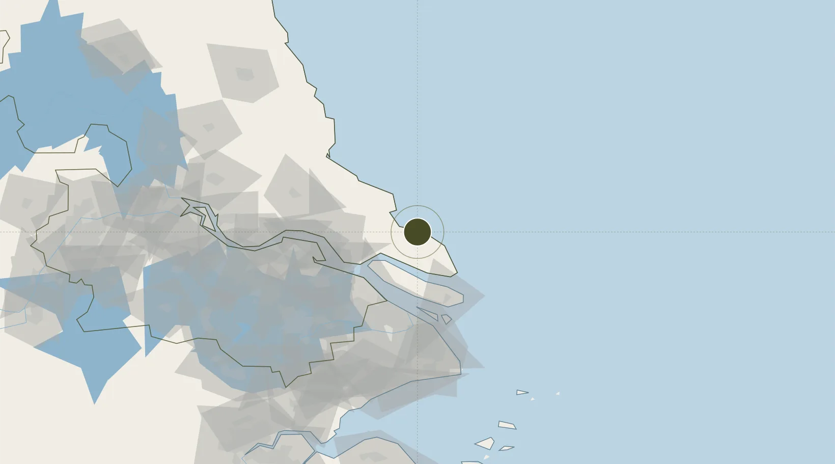
32.0674°, 121.5946°
442 ha
Zone area
59.5 km
Nearest port
57.9 km
Nearest airport

Gateway access

Nearest neighbours — logibook spatial index (haversine) over the source coordinates

Zone profile

Zone type
Diversified Zone
Open Zone Map
Region
Jiangsu
Open Zone Map
Status
Active
Open Zone Map
Management
Public
Open Zone Map
Operator
Lvsi Ocean Economic Development Zone Management Committee
Open Zone Map
Legal framework
Founded in 1993, for the provincial economic development zone
Open Zone Map

Location

Location of ozm-485
Natural Earth 10m (public domain) · Jiangsu · ozm-485 · 32.07, 121.59GoogleOSMYandex

Nearby Logistics Neighbours

Ports
  1. 1Taicang60 km
  2. 2Changshu69 km
  3. 3Nantong75 km
  4. 4Shanghai95 km
  5. 5Zhangjiangang113 km
Nearest neighbours — logibook spatial index (haversine) over the source coordinates
Airports
  1. 1Nantong Xingdong International Airport58 km
  2. 2Shanghai Dachang Air Base84 km
  3. 3Shanghai Hongqiao International Airport100 km
  4. 4Shanghai Pudong International Airport105 km
  5. 5Rugao Air Base105 km
Nearest neighbours — logibook spatial index (haversine) over the source coordinates
Cities
  1. 1Lusi3 km
  2. 2Qidong30 km
  3. 3Yangkou Pt57 km
  4. 4Chongming62 km
  5. 5Taicang Pt62 km
Nearest neighbours — logibook spatial index (haversine) over the source coordinates
DatabookThe Record of Consolidated Knowledge
China beyond logistics?
Browse databook

All Sources

Trade ZonesOpen Zone Map
CC BY
Portsthe NGA World Port Index
Public domain (US gov)
AirportsOurAirports
Public domain
LocationsUN/LOCODE
UN/LOCODE — free
← China trade zones