Transport Functions
Port
Hub Profile
Place type
Local administrative seat
Region
Jiangxi
Time zone
Asia/Shanghai
Elevation
47 m
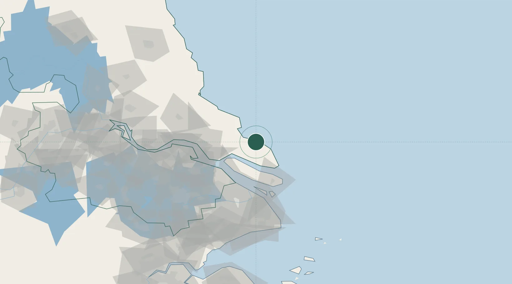
Location
Nearby Logistics Neighbours
Cities
- 1Qidong28 km
- 2Yangkou Pt59 km
- 3Chongming61 km
- 4Taicang Pt62 km
- 5Nantong67 km
Ports
- 1Taicang59 km
- 2Changshu70 km
- 3Nantong77 km
- 4Shanghai93 km
- 5Zhangjiangang115 km
Airports
DatabookThe Record of Consolidated Knowledge
China beyond logistics?